Kelly was working at ADK’s Winterfest so I drove over to the Adirondacks to join her, conveniently only 2.5 hours from my home. I’d never been to the Loj before so I got to see it right on Heart Lake. It was in the single digits so there weren’t a lot of people hanging out and the day was almost over anyway. I hung out chatting with hikers by the campfire while she finished working and then we split for the warmth of a motel room. Switchfoot met us there and we tried to go to bed early to get ready for the next day’s hike.

The plan was to do the Brothers, Big Slide Mountain, and possibly Yard Mountain in a loop in the High Peaks Wilderness. We drove over to the Garden trailhead in Keene Valley and hit the trail. It was pretty packed out so we wore microspikes. The Phelps Trail followed Johns Brook for 3.1 miles so was fairly level. When we reached the junction with the Slide Mountain Brook Trail, we decided to head up it for the shorter loop.

I had been feeling fine but when we stopped a little more than halfway up that 2.4 mile trail for a snack, I suddenly felt horrible. I couldn’t eat my sandwich or drink my tea. I didn’t know where it was coming from so we slowly started back up again. After 15 minutes of hiking, I wasn’t feeling any better, so I decided to turn around and go back where I knew the trail was easy, as opposed to exposed on the Brothers. Kelly came with me and Switchfoot kept going to grab some winter peaks. He had maybe a mile more distance than us, but harder trail for sure. Kelly and I mosied back to the car and I felt better about halfway there. Because we were moving so slowly, and Switchfoot pushed hard to meet us, we only beat him by about ten minutes.
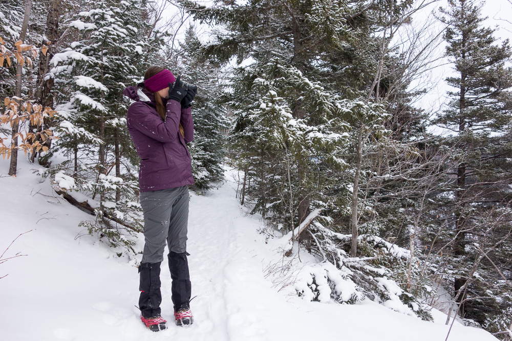
I probably still did about 8.5 miles and I couldn’t figure out why I’d suddenly felt so terrible. That’s happened to me once or twice before. It was still a good hike though. I barely took any photos because it was so cold, I didn’t want to mess with my camera much. We met a bunch of other hikers on the trail – some caretakers, which I didn’t realize they had in winter, and a group of guys heading out to one of the camps for a few days and pulling lots of supplies (meat and beer) on pulks. They were geared up to ski, snowshoe, and ice climb, an excellent multi-sport adventure.

We hit up a diner and The Mountaineer, an outfitter with one of the best book selections I’ve seen, then Switchfoot headed home and Kelly and I moved over to Keene Valley Hostel for the night, a very cosy and great location.
We figured with my incident yesterday and her knee that had been hurting her, we’d pick an “easy” hike for today – Pitchoff Mountain. There was a parking area at either end of the 5.2 mile trail on Route 73 so we dropped my car at the eastern end and drove hers to the west.
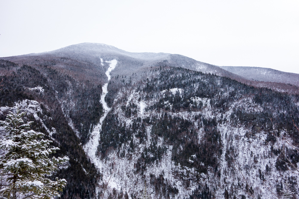
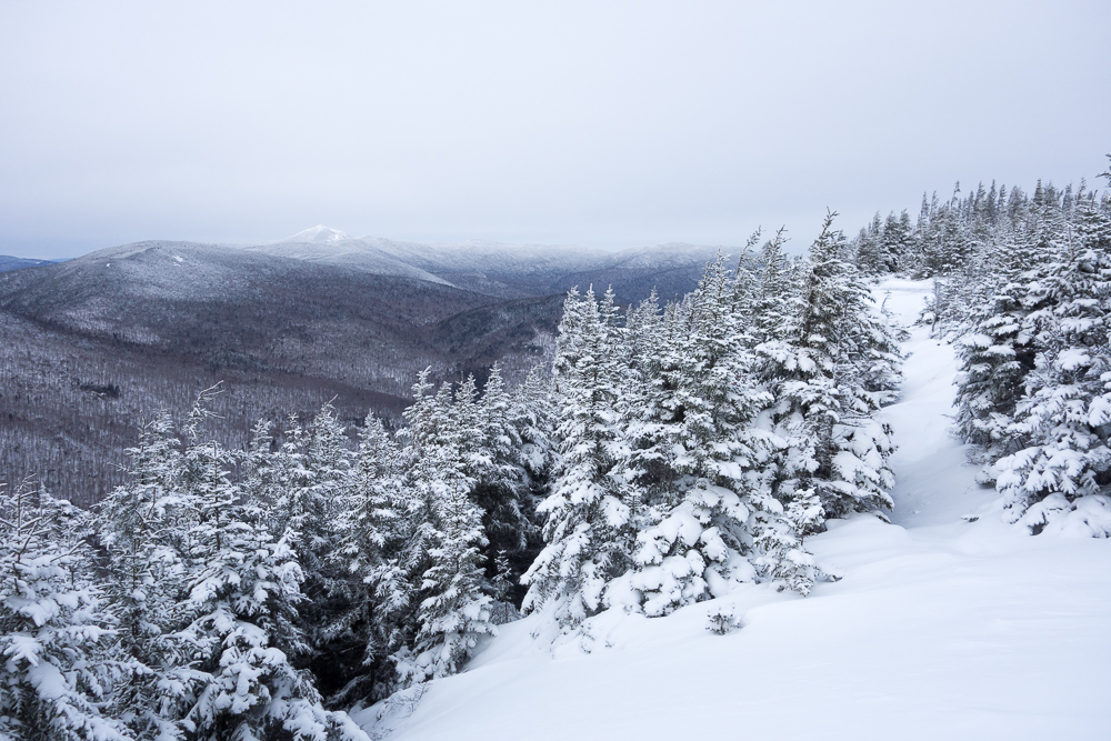
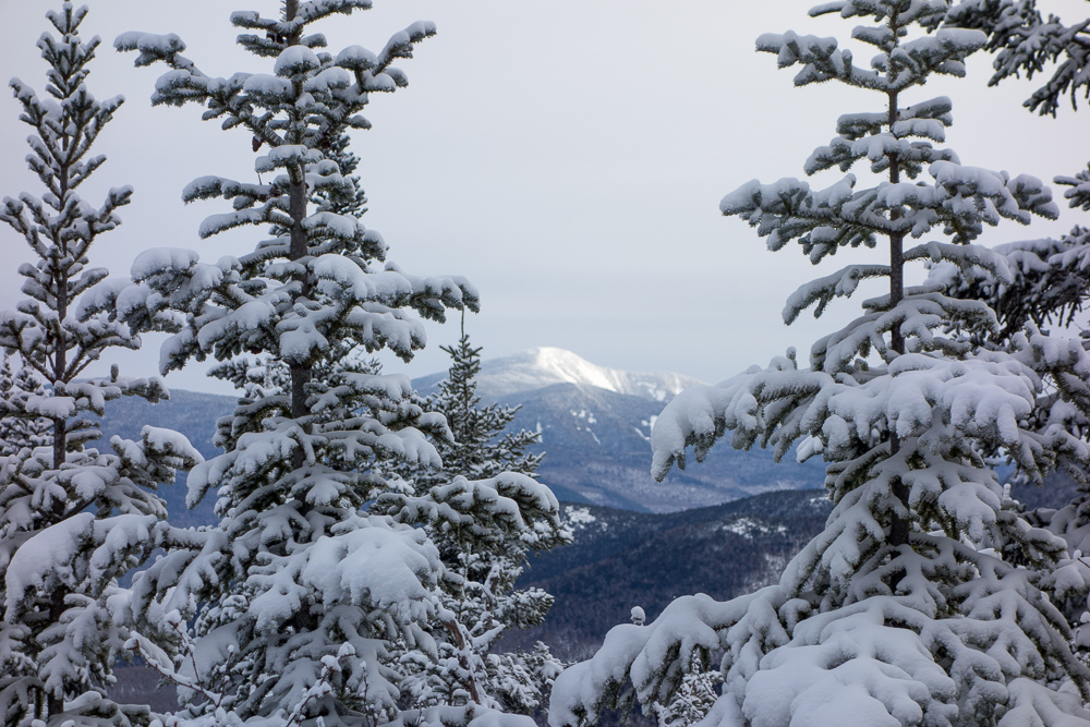
I started in snowshoes but the trail was fairly packed out when we got on it so I switched to spikes. The trail started with some moderate ups and downs, but nothing too strenuous. It led to several great views of the Cascade Lakes and Cascade Mountain so we took our time enjoying the views and the quiet woods.

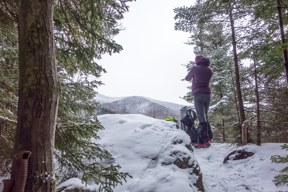
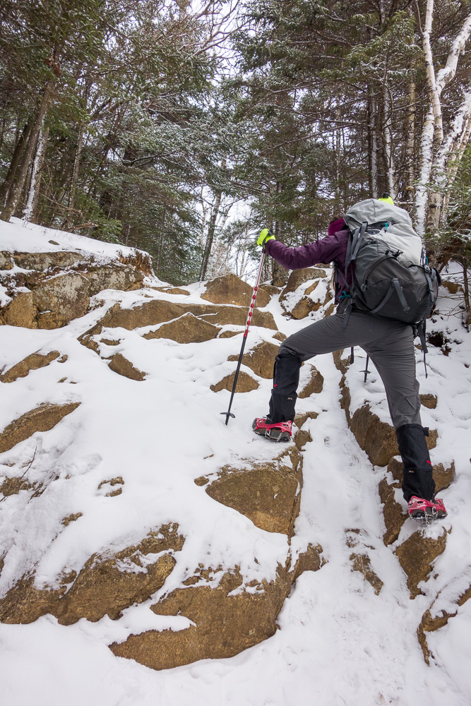
We descended a short distance to a small saddle and then started climbing a much steeper area. I had read in the guidebook that there was an old section of trail going off to the right and I thought there was a view there, but we couldn’t find it. We followed other footsteps up a steep side trail for a bit but had to turn back when it ended at a large boulder. We slid back down to the real trail and continued.
On the other side of the ridge, there were no more footsteps to follow and the trail was covered in drifts. We made it to the junction with the correct right turn out to a ledge with great views and balanced rocks.


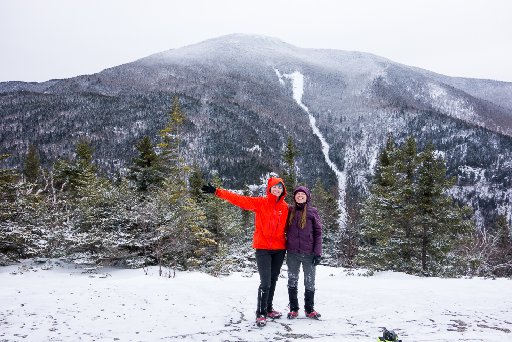
Heading back onto the trail, we followed it to the summit of Pitchoff Mountain at 3500′ and the trail then followed the ridge up and down through deepening snow. The only tracks we now saw were from foxes and rabbits, although they usually followed the trail too.
I hadn’t looked at the map in a while so I got it out when we stopped for a snack and realized we’d probably only done half the hike in a couple of hours. We’d taken lots of pictures and stopped at the many viewpoints, but it didn’t feel like we were moving that slowly. I started getting antsy for the sharp right the trail would take to signify we were on the final descent. Instead, we were suddenly moving even more slowly through 2+ feet of powder. I switched back to snowshoes and was still pretty much post-holing.
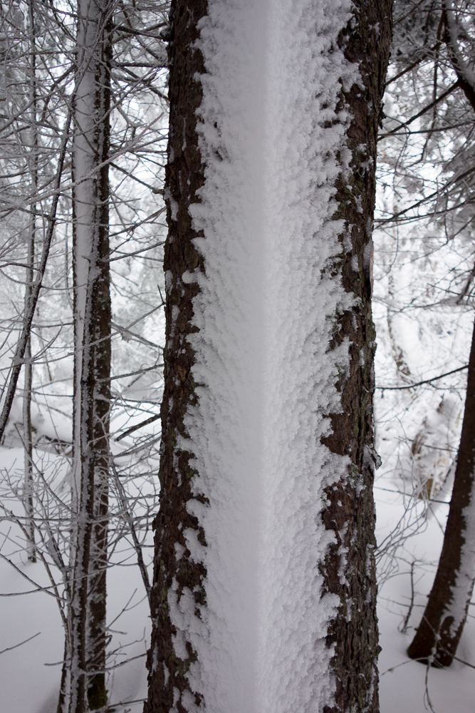
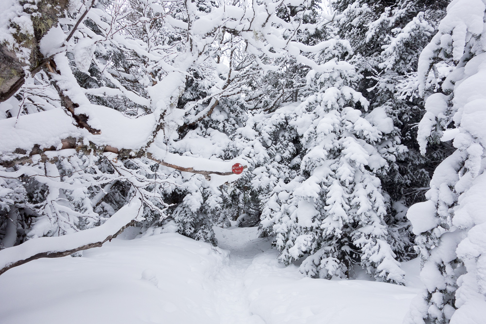
We finally reached more ledges and the trail seemed to turn right so I thought we had made it to the north summit and were on the way down. The trail straightened back out though and it soon became apparent that Cascade Mountain was still to our right, instead of to our left like it should be if we were descending. I was not happy when I realized that because it was getting later and this “easy” hike was turning into an all day affair.
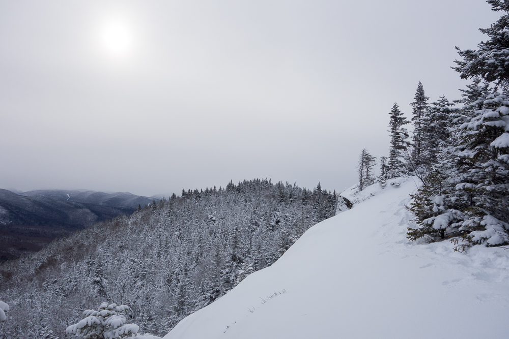
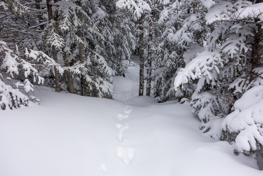
The trail was getting harder to find in places. There weren’t many markers but the main problem was that there were giant boulders in the way. I assume in summer that there are painted markers on the rock, but I definitely could not see them now. I was leading the way and dead-ended at a 20′ high rock wall. Kelly caught up and we backtracked but there was simply no way through the trees this time. She took a different route to the top of that rock wall and saw a gap between it and the next rock so decided that couldn’t be the way. Well, after more triple-checking everywhere else, I went up and realized that was the only possibility.
There was a ledge a short distance down from the top of the rock that we used to climb across. Kelly went first to check it out since she was more maneuverable in spikes. When I climbed over in my snowshoes, I had to use a move I call “the slug” – basically getting my upper body weight over the obstacle and then inching the rest of my body behind. We found more steep rock to climb but we did eventually see a trail marker to know we were on the right path.

The trail continued going up and down in completely improbable places. We slid down multiple chutes, only to climb back up others. We had been out so long that I finally turned my phone on to check our GPS location. I freaked out when I saw Google Maps showed us way off of where we should be. It looked like we had gone off on some side trail way past the right turn, only there were no side trails on my map. We decided we needed to turn around and hike all the way back the way we’d come, because at least we’d have our own tracks to follow and it was going to be dark soon. There was no way we could keep up the route finding ahead in the dark. Fortunately, right before turning off my phone, I decided to check the Gaia GPS app also, and that showed us in our actual location on the trail, almost at the right turn. With the mixed GPS locations, we decided to keep going for ten minutes, and turn around if we didn’t get to the turn in that time.

We came to more ledges, and as we were walking across one of them, my right leg plunged into a crevasse that had been hidden by snow. My right snowshoe was wedged stuck and barely reachable so I had to take my pack and my left snowshoe off in order to twist myself into a position where I could reach down and pull on the snowshoe with my hand so I didn’t lose it down there. I was able to get my leg out, don all my other gear again, and inch back to the trees. I walked the rest of the ledge holding on to the stubby trees on the side.
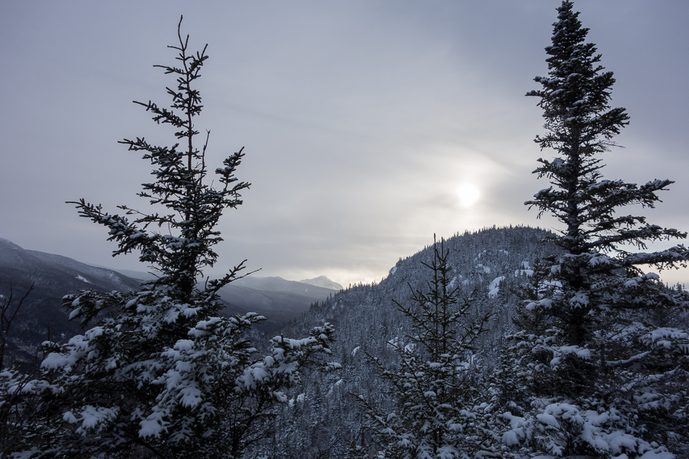
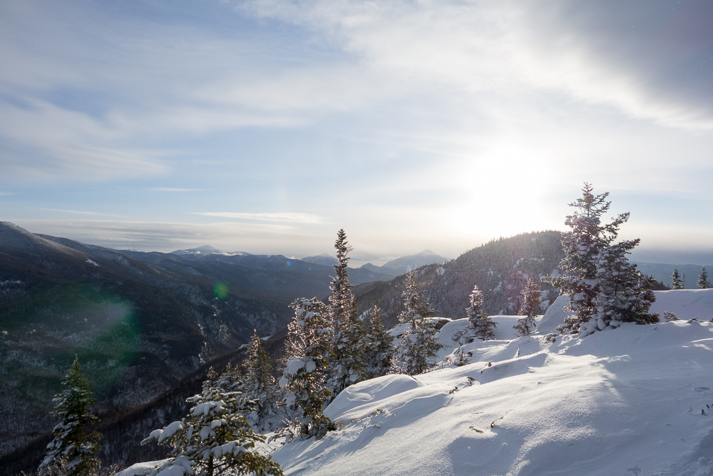
But, we found the right turn! The trail descended very steeply once we were back in the woods and I was constantly falling over. We were headed down an eroded gully, and my legs were twisting this way and that with all the snow covered rocks I was stepping on and catching at bad angles with my snowshoes. I tried glissading for a while but it only worked for short stretches. The trail seemed to be on a stream, or crossing back and forth over it, but there were barely any markers to really tell. It was almost twilight but we made ourselves stop to eat and drink and get our headlamps out. I also switched back to spikes so I could move faster and stop falling.
Kelly was moving slower because her knee was hurting more but I didn’t want to waste daylight so I moved on ahead. She could easily follow my tracks, and I called out “Marker!” every time I found one for motivation. There were almost no markers facing me, but I was finding more by turning and looking back. The trail was way better blazed in the other direction. I’d find one facing the way we were headed, then walk straight from there until I found another. I was frequently off trail, but it was very hard to tell because even the places I thought were the trail had little saplings growing in the middle of them and there were downed trees everywhere.
I was never so happy as when I heard occasional traffic from the road. I had actually been following a fox’s tracks for a long time, but it peeled off right as the trail became more apparent and less steep. I made it to the car and Kelly wasn’t far behind. 5.2 miles had taken us 6 hours and 25 minutes. We were exhausted but so happy to have gotten out just before full dark.

I really didn’t enjoy the latter half of this hike while it was happening, but that’s type II fun for you. Now it’s a good story and I think it was okay. I’m sure my brain will later tell me how much fun I had and convince me to do it again.

Riveting story. Absolutely amazing how fast one can get “turned around” and the phenomena that occurs where one becomes convinced that you are heading in the right direction only to discover you are way off base as sun begins to set. Happy you are out safe and sound and that you are feeling better.
We were on track but my phone’s gps briefly convinced me otherwise.
Sorry for the double posting. Overactive digit on my right hand. I forgot to mention that I LOVE the Mountaineer and did you eat at the diner in Keene the is renown for it’s blueberry pie? Excellent food. The place is addicting. You posted great pics and thanks for sharing.
The diner we went to was not that great. Unfortunately, I think there’s only one in town.
OMG, Kristin!! You are scaring me! Pls leave feedback for them to make better trail markers. It did sound like a great adventure tho. I hope to be a fair weather hiker at some point. We will have to plan something.
Wow! Sounds…exciting? It is quite beautiful, and you got through it so now you have the story!