I’ve been planning a one-day traverse of the Presidential Range in the White Mountains of New Hampshire for years. When I initially tried to do it with a group, we never had a day we could all do it that the weather worked out. This year, I decided I’d do it on the summer solstice regardless of if anyone could come with me. I updated my spreadsheet (of course I have a spreadsheet) to show summer services and bailout points instead of winter, which I had originally been planning.
Since I ended up nearby earlier, I did it one day earlier than the solstice. Still plenty of daylight and the weather was looking good for the Presis, something that’s not guaranteed and can change quickly.
Jenn volunteered to support me. I met her the night before at Crawford Notch to leave a car and then we went and camped at the Appalachia Trailhead so I could get an early start. Turns out that’s the worst trailhead to sleep at. Sure, there are a couple of spots for tents in the woods just past the parking lot or on the wide Presidential Range Rail Trail there (where we camped), but big trucks go by on Route 2 all night, not to mention all the hikers walking by on their early starts. When the sun and birds joined in at 4:30am, I gave up trying to sleep. I had planned to start at 6:30 since I don’t like getting up too early, but instead, I got started up Valley Way at 5:20.
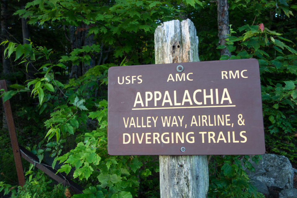
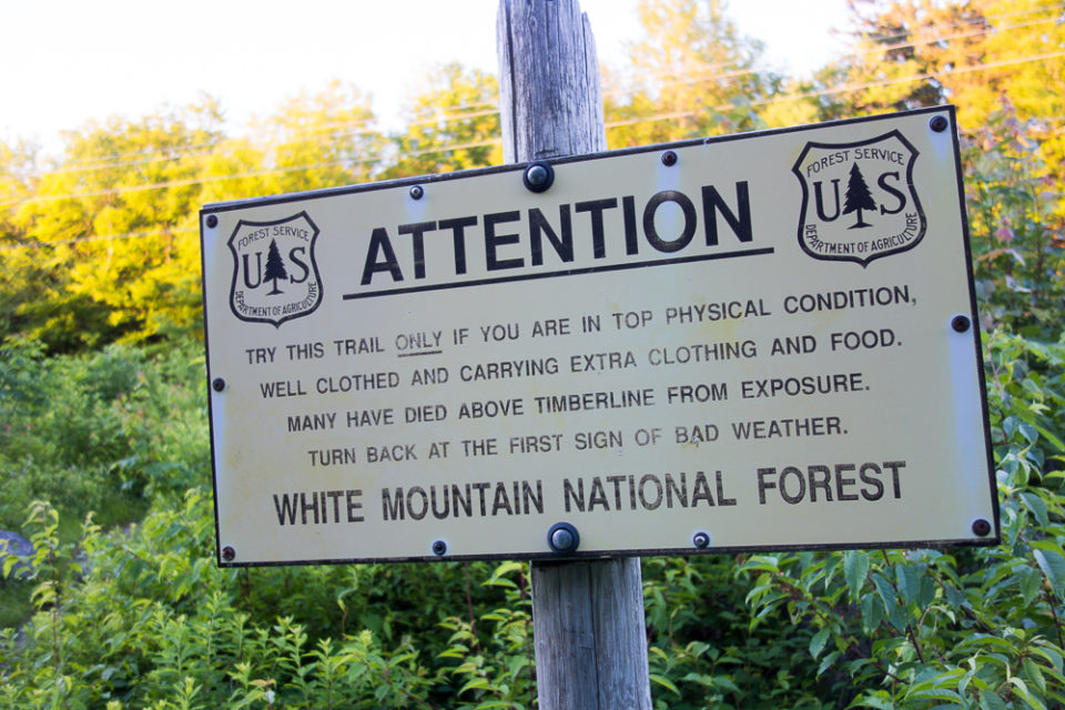
The trail was steep but not technical and I made good time up to Madison Spring Hut, including a stop for breakfast along the way since it had been too early to eat when I started hiking.


I didn’t go in the hut then, passing it to continue up the Osgood Trail to my first summit of Mount Madison at 5366′. It was very windy on the summit cone, although I hadn’t felt too much wind below it. That would prove to be a theme for the day.


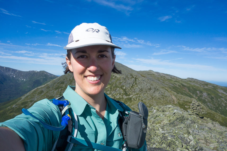

After enjoying the views for a few minutes, I turned and went back the way I came to take a break at the hut. There was an astronomer from AMC-ASTRO outside the hut with a telescope who asked me if I’d like to learn about the sun. Sure, why not. I got a look at it through the telescope, learned about sunspots and movement, etc, then went into the hut for a snack and bathroom break and water resupply.


I couldn’t stay long, of course, and left the hut for the Gulfside Trail which I took over to the Air Line Trail to start climbing Mount Adams. It didn’t take long to get to that summit at 5799′ either, and I took another short break in the wind.

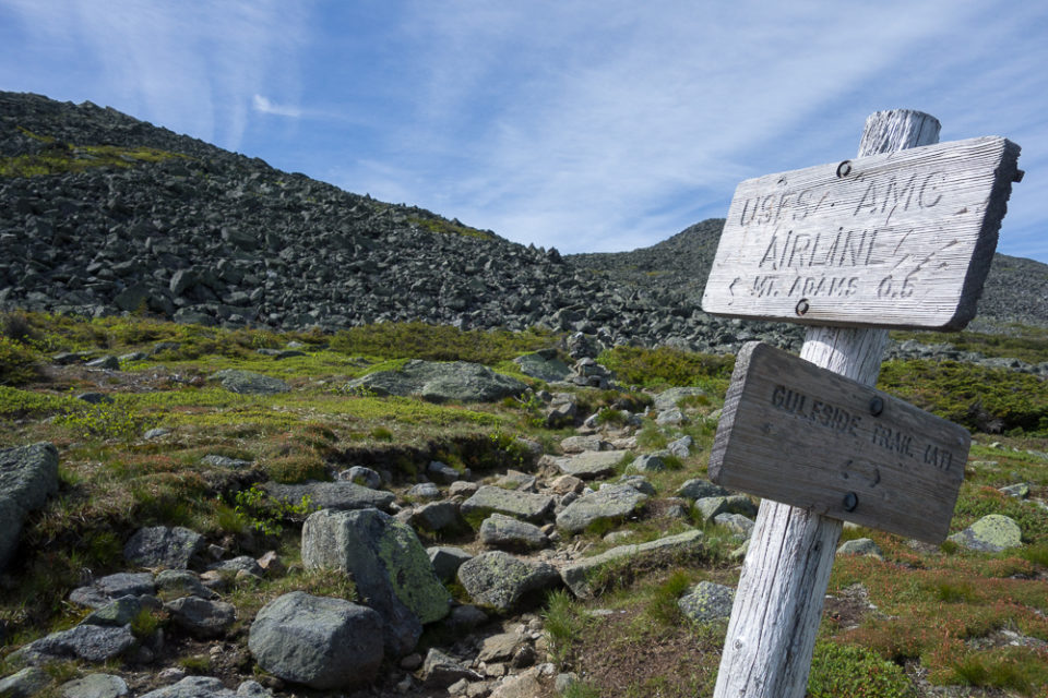

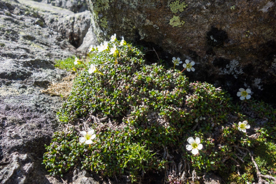
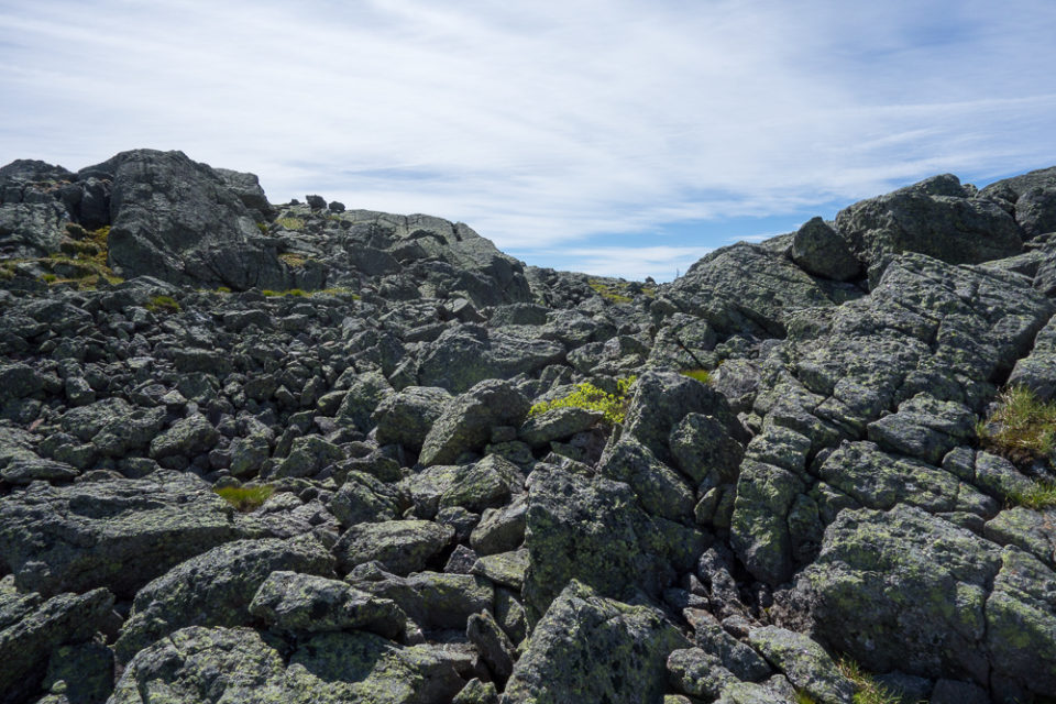
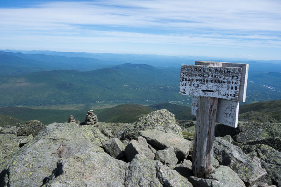


I descended Mount Adams on Lowe’s Path back to the Gulfside Trail at Thunderstorm Junction, which I stayed on for a while to get over to Mount Jefferson. There wasn’t too much elevation change here so I thought I’d make short work of it, but I actually took longer than book time because it was all large, loose, pointy rocks to go over. At one point I slammed my knee into a rock and had to sit down, but it was the kind of funny bone pain that’s really intense for a couple minutes and then goes away completely.
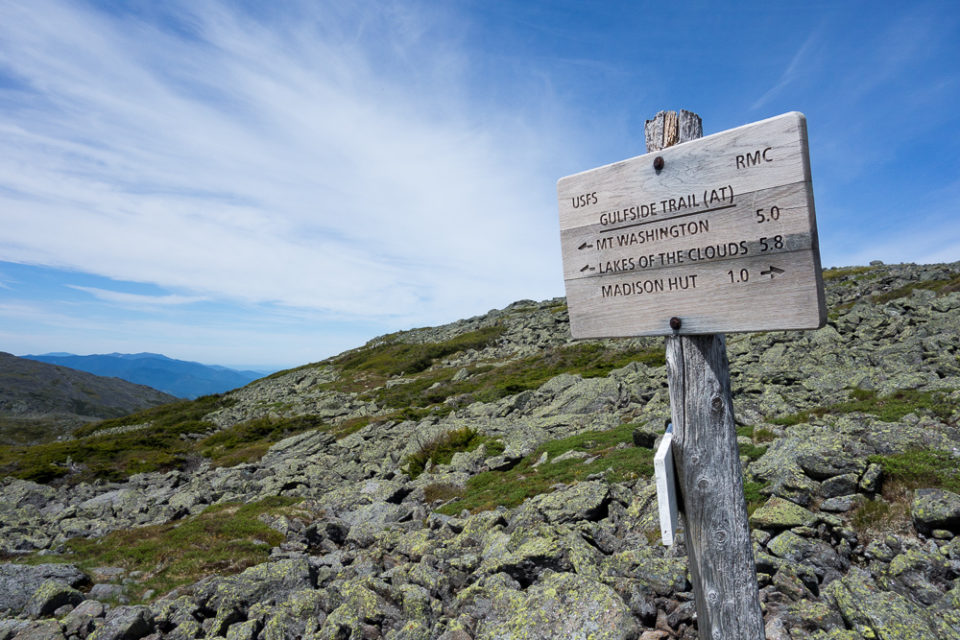
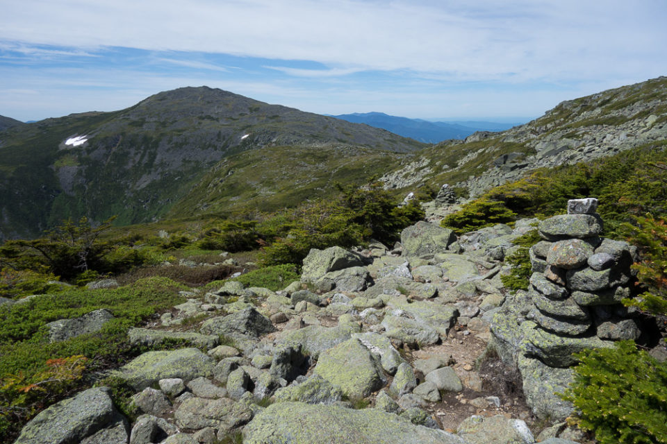

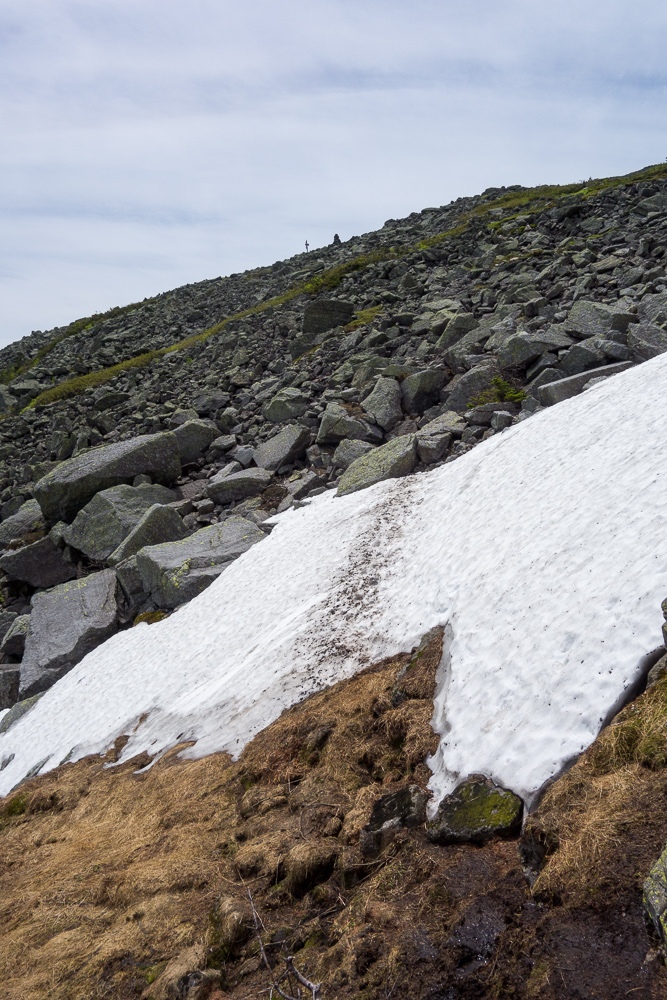
After hiking through Edmand’s Col, I did have to traverse about 20′ of snow across a gully. Since it was on the northeast side of the mountain, I guess I shouldn’t have been too surprised to still see snow. Soon after, I jumped on the Jefferson Loop to go over that summit.

I had lunch on Mount Jefferson’s summit at 5716′ with a few other hikers and then continued down the opposite side of the loop to the Gulfside Trail again. Jefferson was a new summit that counts towards my NH 4,000 footers so I was glad to bag it after missing it in January.

From Sphinx Col, I detoured to go over Mount Clay on the Mount Clay Loop. Not named after a president, and without enough prominence to count on any peakbagging list, but the same distance as skipping it so I figured I might as well. I’m glad I did because there were beautiful views from its summit at 5533′.


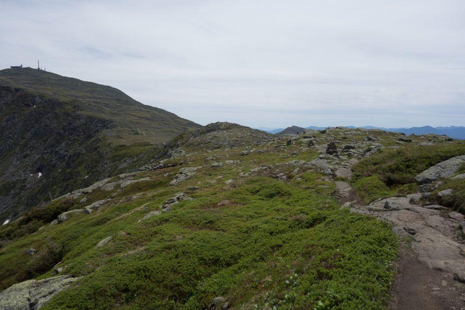
After descending Clay, I was back on the Gulfside Trail and in the home stretch to Mount Washington. Jenn was waiting to meet me there on her own hiking loop of Washington up the Jewell Trail and down the Ammonoosuc Ravine Trail. I had texted her an earlier ETA because I was getting all cocky when I made such good time the first couple hours of my hike, but I had since been slowed back down to book time by my breaks and the rockiness of the trail.
Then I somehow got off the Gulfside Trail onto the Westside Trail, which was not where I wanted to be. I knew the trail crossed the railroad tracks at some point so I didn’t think it was that weird that I went underneath them, although I didn’t remember going under the tracks on my AT hike years ago. I thought I’d gone over them. I got out my map and checked and it looked okay so I kept going. But the trail just kept traversing and didn’t seem to start ascending like it should so after ten minutes, I checked again and realized my mistake. It didn’t take me long to go back. I climbed up next to the tracks for a little bit before I saw the Gulfside Trail close enough to hop back on it. Then it was just a short spur to the summit and I found Jenn reading inside the visitor center.


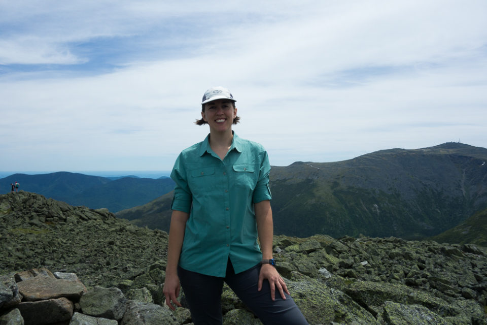
I ate another snack and changed my socks out to new ones, a luxury that I was very proud of myself for preparing. Then we saw a train coming in and ran out to get our summit photos right before the train unloaded a ton of people who immediately formed a line at the summit for their own photos. Just in time!

It was very cool at the summit at 6288′, and the windiest summit yet, so we made short work of going down its south side on Crawford Path. Jenn hiked with me to Lakes of the Clouds Hut, where we took one more snack break, I refilled my water again, and we reevaluated time. I thought I could still finish before dark and I was feeling pretty good aside from a little foot soreness so I left Jenn and kept moving.
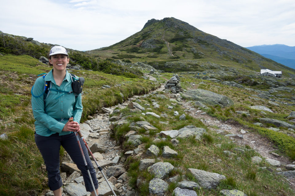

A short hop on Crawford Path took me to the Mount Monroe Loop and I was soon on Mount Monroe’s summit at 5372′. I continued down back to the Crawford Path. From here, I wanted to hit Mount Franklin’s summit at 5001′. Similar to Clay, it’s not named after a president and doesn’t have enough prominence to count for peakbagging, and I actually thought I’d already gone over its summit since it appeared to be right on the trail on all my maps. But I recently read somewhere that the summit is 130 yards off the trail. When I was coming down Mount Monroe Loop, I kept an eye out ahead and saw the summit cairn and side trail. The side trail wasn’t signed and I’d never noticed it before, but I took it this time and once past the summit, it continued in a loop back down to Crawford Path.

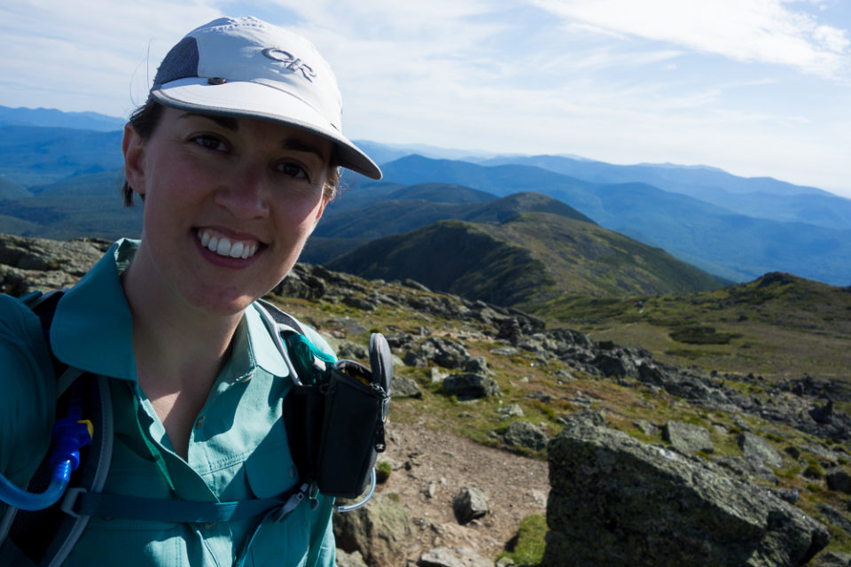


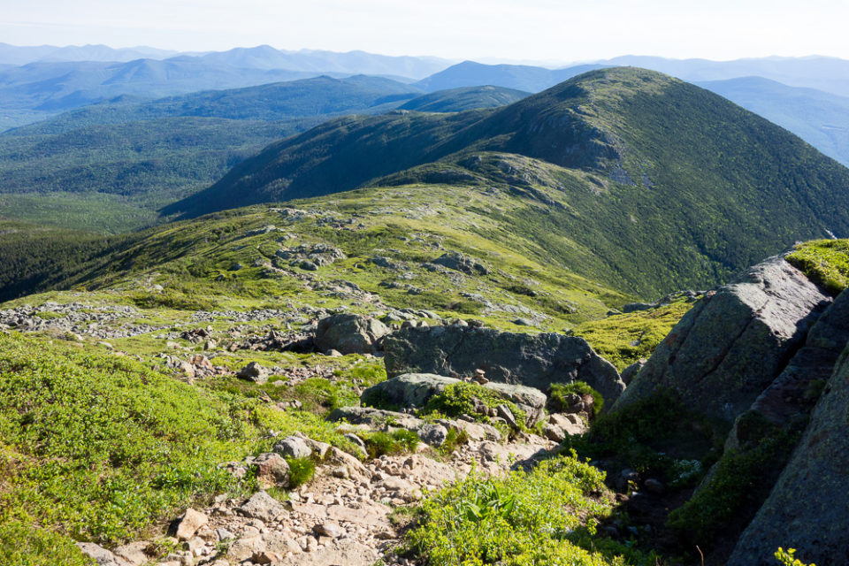

I made it to the Mount Eisenhower Loop and sat down between some trees to shield me from most of the wind while I ate my sandwich for dinner. Then I continued up to the summit.
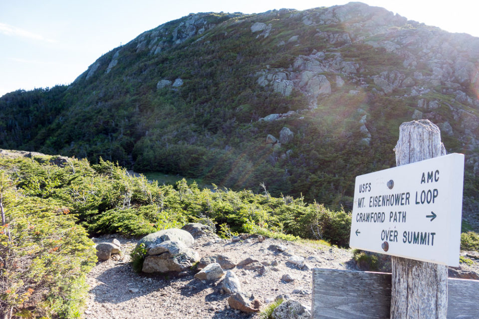

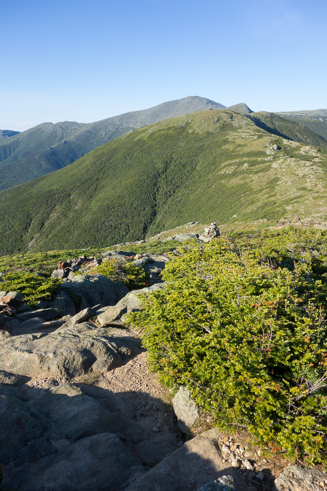


I was making great time so I blew right through and totally missed the message another friend had left for me on the summit on his hike:

Oops. Thanks, Kyle!
From there, I kept going down the loop back to Crawford Path and started my traverse over to Mount Pierce. Some of the trail was very muddy through the col but I could see that they’ve already dropped off lumber to put new puncheon in this season. It was getting to be the golden hour and I really wanted to make it down before dark so I kept my speed up.

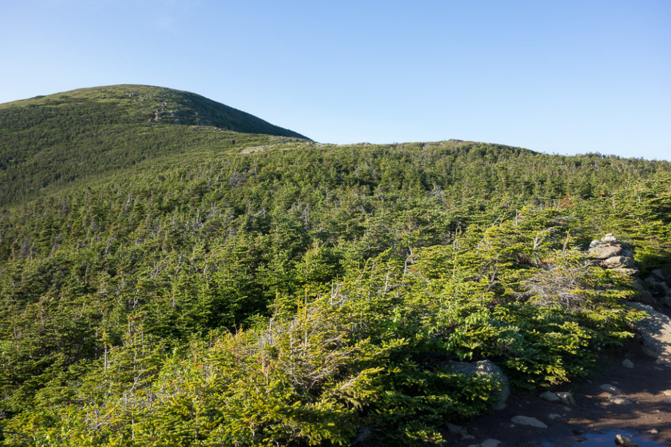
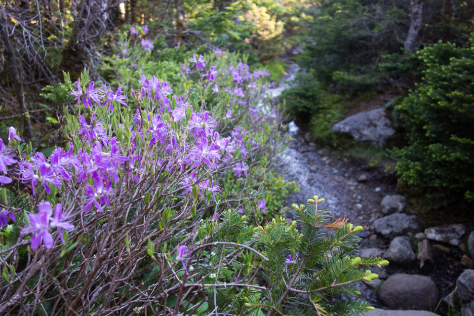


I took a short side trip on the Webster Cliff Trail to Mount Pierce’s summit at 4312′. My last summit of the day, I only had three miles left to get down on the Crawford Path. I sat and took a break first to give my legs a little rest.


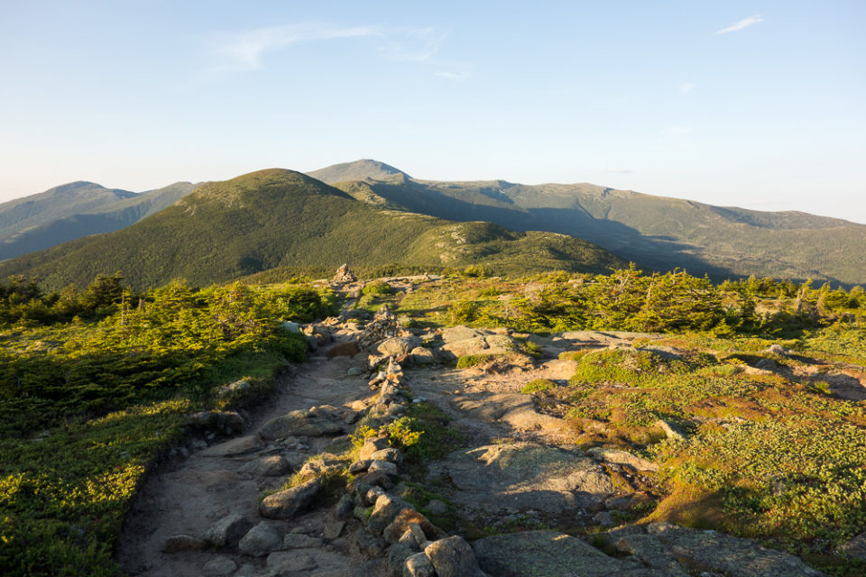
The last time I’d done this trail was in winter so I had no idea how rocky it would be, but I was really hoping for not rocky at all. Turns out it was very rocky, and also very wet. My feet really wanted some nice, soft dirt to walk on, but it was not to be. I slowed down considerably with my tired feet and legs and twilight came on. Since I was going so slowly already, I didn’t feel the need to get out my headlamp for a while. The light-colored rocks were still easy to see at my pace in the semi-darkness, and there’s a certain pride in finishing something without a headlamp. Finally, after 9pm, I did have to turn my headlamp on for the final fifteen minutes.


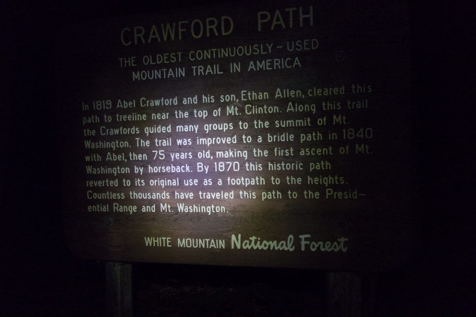
I walked out onto Route 302 and found Jenn parked and waiting for me at Crawford Depot. Everything was closed up so I had no bathroom or vending machines available and decided I’d take care of that at the first gas station on my way home.
The 20-mile hike with around 9,000′ of elevation gain over 9 mountain summits took me 16 hours. I never had to carry more than 2 liters of water since I could refill at the huts, and I had tons of food leftover although I definitely think I ate enough all day.
Thank you to Jenn for supporting me along the way! I owe you one badass adventure support.

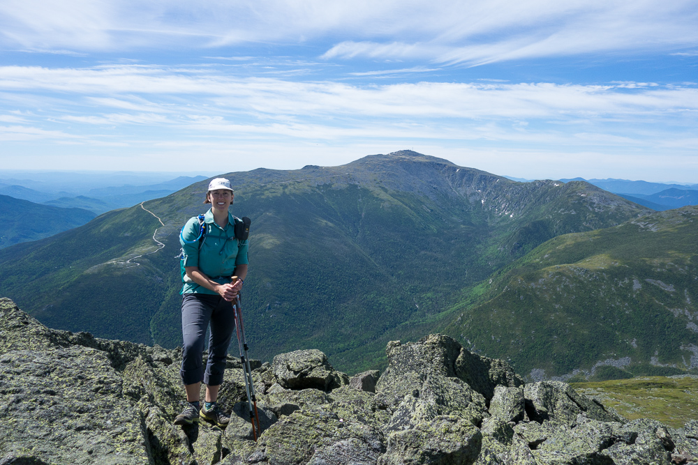

What a great hike day! Loved the photos. You look wonderful.
Thanks, Lee! Miss you!
Great story and photos. Thanks for sharing.
Hi there! A female friend and I (both 40-something women, moderately athletic, but not trying to set any records!) just did the one-day traverse this week and used your schedule to build our plan. We cannot thank you enough–it was incredibly helpful to have a sense of how long it would take, when we needed to push, and when we could take longer breaks and still keep to our goal of getting back to the lodge at a reasonable hour. I think we hit several of our summits right on the minute with what you did. The hike was amazing–as soon as my muscles stop aching, I’ll plan the next trip.
I’m so glad it was helpful! Congrats on your traverse!
Hey Siren – Thanks for the article, photos and details. We are 3 people in our 40’s, 50’s planning to traverse in 1 day this Sat (Sep 26) and plan to use your worksheet. to test our ability we traversed the Wapack Trail (22 miles, 5000 ft elevation gain) in 9 and half hours.
For wind speed which site do you trust the most? and what is the max wind speed/gusts you would hike in on this trail ?
How much did your backpack weigh in the beginning?
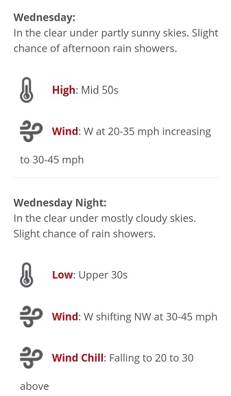
I always use the MWOBS website for weather in the Whites: https://www.mountwashington.org/experience-the-weather/higher-summit-forecast.aspx
There’s a lot of exposure on this hike so I’d probably want to stay below 30-40 MPH winds or that would just add to the exhaustion. That depends on your comfort level.
I’m not sure how much my pack weighed in the beginning, but it was a day pack with 3L of water and a bunch of food.
How did your hike go?
Thanks for sharing your amazing trek with us. The photos are fabulous! I have a question about shoe choice. I think I noticed you had trail running shoes on. Is this the case and would you say a trail shoe was stable enough to handle the terrain?
I almost always hike in trail runners or low hiking shoes. Winter is the only time I put boots on. Trail runners are stable enough for me in the White Mountains, but that’s what I’m used to hiking in. Shoe choice is pretty subjective.