I fell asleep just after 8 last night so I woke up at 3am again. I managed to get a little more sleep, but not much. A hiker walked by my tent early this morning and it wasn’t until after he passed that I realized he was walking the same direction as me! Then an ATV passed. Then a squirrel dive bombed my tent. I figured I’d better get moving.
There was a long slow climb to start the day, and I stopped shortly after for water and a snack. I ran into a couple of day/segment hiker women who I’d repeatedly see throughout the day.

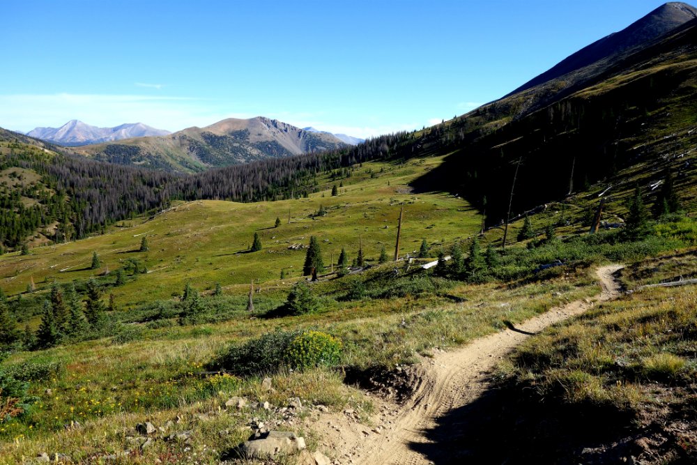
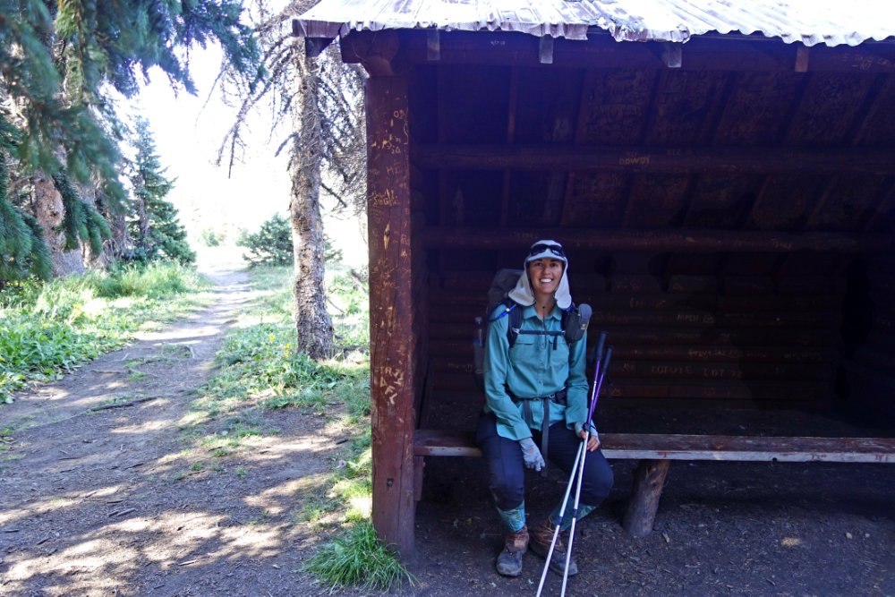
Shortly after second breakfast, I came across Green Creek Shelter, I think the only shelter on the trail. It’s three-sided but has no floor so I don’t know who would stay there anyway.
Then there was one more climb up to the continental divide. There were a ton of mountain bikers out today, kind of weird for a Tuesday. A lot of them were bombing down the descent so fast I barely had time to get out of the way. I’m used to bikers being much more aware than that on this trail.
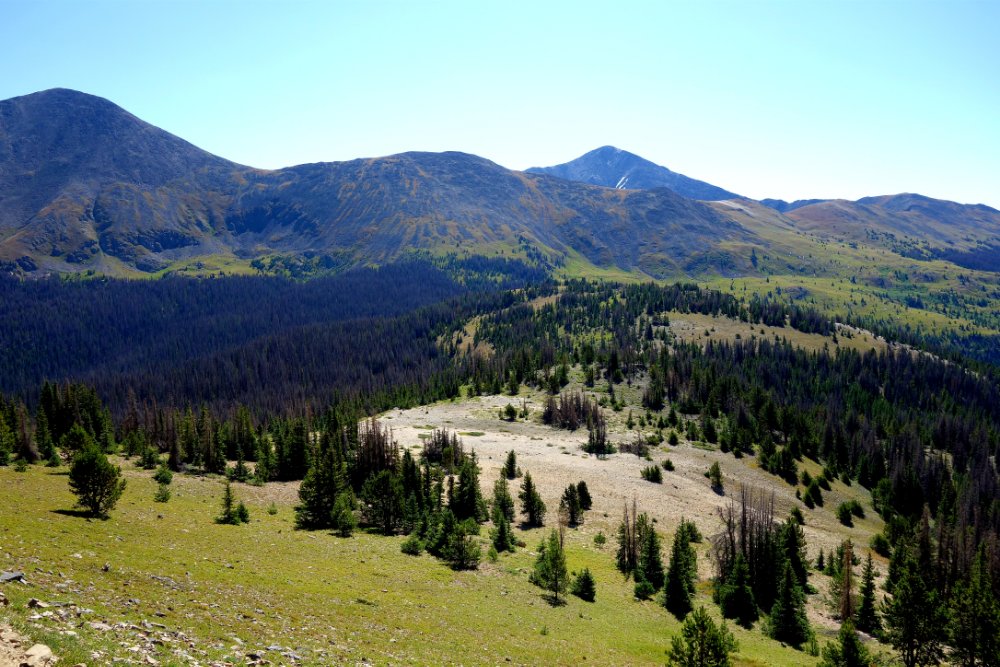
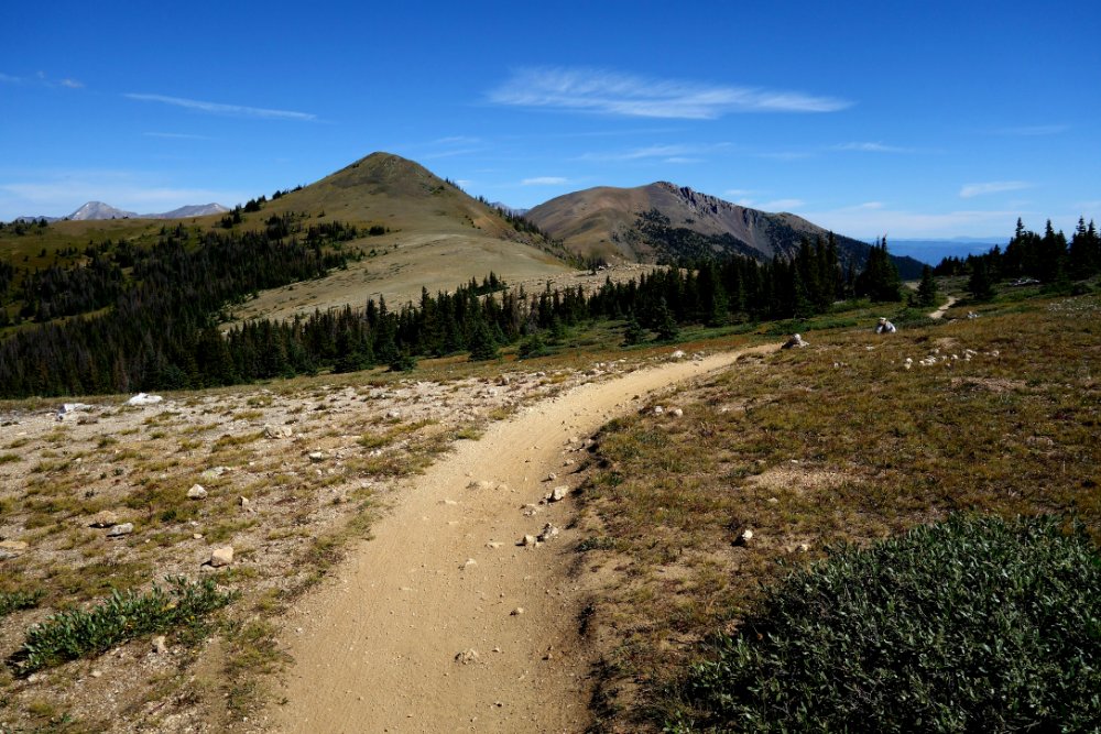
At the saddle where the trail splits, I ran into the nobo hiker and a sobo hiker. We stood there talking for quite a while, sharing water and town recommendations.

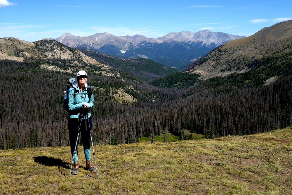
The trail splits here into the Collegiate East or Collegiate West routes. East is the original CT and west is the CDT but now also an alternate for the CT. When I started this hike in 2014, west was new and I still planned to do east, figuring I’d do west at some point later when I did the CDT. Earlier on this hike, I thought I’d have time to do both, but then I decided to relax a bit more. West is supposedly more scenic since it’s higher but I’m still going to stick with east. I have some people meeting me from sea level later this week so lower altitude would be better for them. Plus, there are hot springs on the east side. I’ll get to west later. (Of course, the other nobo hiker went west so I probably won’t see him again.)
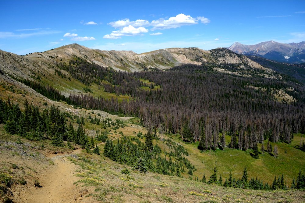
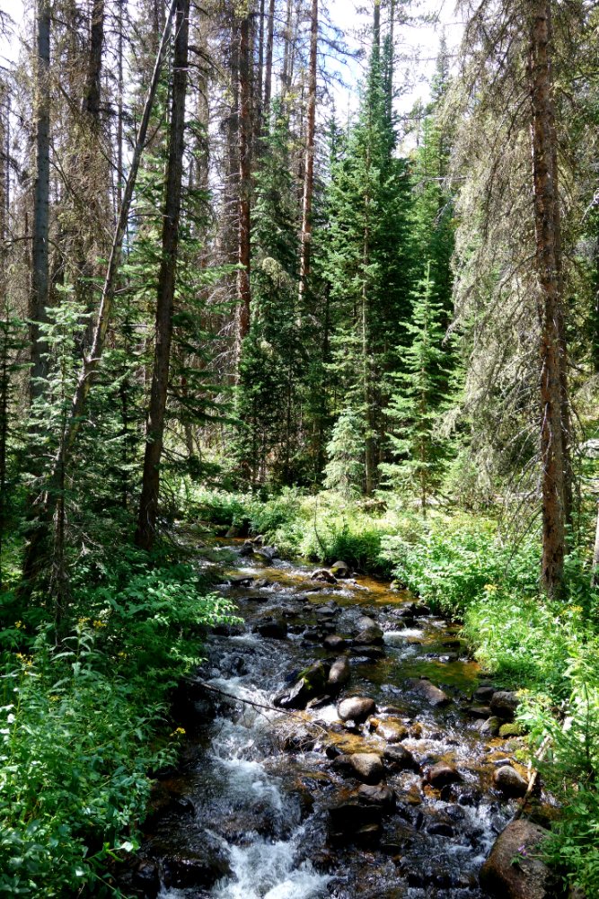
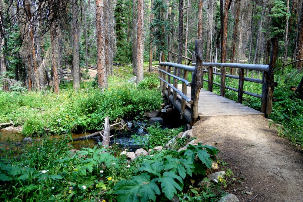
I headed downhill along Fooses Creek, which was super steep and loose at first. I couldn’t believe that was the trail. But it evened out into nice trail with tons of water crossings everywhere. I stopped for lunch with the women hikers and then moseyed along to the bottom. I made it out to Route 50 after 13.9 miles and a high point of 11900′ today.
A couple of mountain bikers gave me a ride into Salida, where I grabbed the last bed in a private room at the Simple Lodge and Hostel. Then it was Moonlight Pizza for dinner, shower, and early bed.

Leave a Reply