It was a beautiful morning on the lake. After eating breakfast and packing up, we walked back down to the little trail we’d found to the beach and took it back to the Lake Francis Trail. It was an easy, wide trail, only overgrown sometimes, and we made great time to the top of Lake Francis at the Connecticut River.

We took the bridge on Carr Ridge Road over the river and then turned onto River Road. The map showed the trail on the road although there was a blazed trail right next to it. We thought the trail would stay right next to the road the whole time so we just stayed on the road since we knew it would be a short distance. The trail did veer a little farther away but then it had to come back to cross the road onto Minnon-Young Trail so we caught back up with it there.
That ATV trail took us up to Young’s Store. Everyone else has a friend with a cabin nearby so they’d been to Young’s before and were singing it praises the whole trip – it had everything, including alcohol and a deli and pizza! We also noticed the Happy Corner Cafe in the parking lot though, and went there first for second breakfast. Apparently, they’ve been there over fifteen years but often get overlooked. My breakfast sandwich was delicious and the woman who served us was very nice, not commenting on our fresh smell but just subtly opening the windows behind us instead.
After breakfast, we moved our stuff to a corral with a picnic table in it in the middle of the parking lot. I went in the store to resupply. They did have a tiny bit of most things so it took me a while to even find out what my options were. They were missing several items I was looking for though so I was a bit disappointed after the hype. I made it back out to the parking lot and got out my tent and sleeping bag to dry since there’d been some condensation when I packed up.
We sat in the sun for hours, doing a crossword, turning our drying things, and eventually going back into Young’s to get some lunch from the deli, and I also got a sandwich to pack out for dinner (Chuckles’ amazing idea) and a bottle of wine to celebrate the last two nights on trail. The deli took forever and the food was a disappointment as well.
Since they didn’t have any boxes of wine smaller than five liters, I had to get a regular bottle. Of course, I wasn’t going to carry a glass bottle so I needed to get it opened and poured into a Powerade bottle instead. They didn’t have a corkscrew for me to use but the young woman behind the counter said she could get it opened. She used a thin piece of metal to try to get the cork out, which ended up breaking it in half. Before I knew it, she had popped down below the counter and was using her teeth the pull the cork out. I don’t know if most customers would have been cool with that but she did read the situation correctly as I was happy to have the bottle opened through any means necessary.
After three hours of loitering in the corral, we decided it was time to leave, but it took us another half hour to do so. We crossed Route 3 and walked up Danforth Road, which was so hot right in the sun and uphill, of course. The databook was wrong constantly for most of the rest of the day. It said to stay straight at junctions that were not really straight. It called for turning at a white house that was no longer white. It labeled a residence by its owners’ name, which we did see on their mailbox, but it did not match the context of the book. We hated to keep going uphill without a sign of any blaze but Jon finally found one on a telephone pole way past a junction, facing in towards the road so there was no way to see it without standing right in front of it.
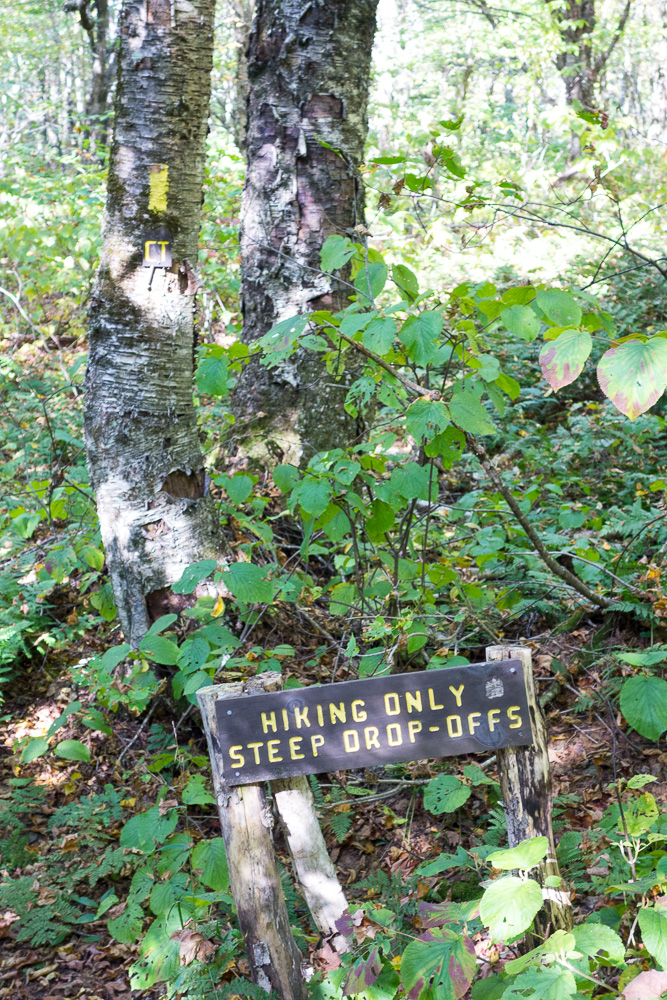
The databook continued to not make sense but we saw a yellow blazed sign for the Border Trail and walked through the woods there up to the Prospect Mountain Trail. Prospect Mountain at 2204′ is a little summit but it still had a nice view of First Connecticut Lake. I was so annoyed by how long it took to get there that I didn’t care to stay there long, and we had to keep moving in any case.

The trail down from there was listed in minute turn-by-turn detail in the databook (so much detail that it didn’t match what we were seeing) but was not well-blazed and there were several confusing junctions.


With three intelligent, experienced hikers, you wouldn’t think navigating with a map and databook would be as hard as it was but we almost never agreed on the interpretation, when there shouldn’t even be more than one way to interpret those items. If the trail was blazed better and/or if the map had more context (like intersecting trails and roads), there wouldn’t be any need for turn-by-turn directions in the databook that don’t translate to real life.
We did make it to the Covell Mountain Trail and climbed to its summit at 2410′. We took a short break there and then continued down. The low mileage for the day was taking way longer than expected so we didn’t have much more time to spare on breaks.

Coming down Covell Mountain was even worse as we kept losing the blazes. We’d find a southbound blaze and try to go straight from there and without fail, the trail was thirty feet to the left. Why there is a southbound blaze pointing somewhere the trail does not even go near is beyond me. The mile from the summit to the road took forever but we made it out to Round Pond Road. The databook was again ambiguous, and the blazes on the phone poles on the road were few and facing in, but I was able to load Google Maps to see where we needed to go.

We walked past many private camps on Round Pond and then got back in the woods on the Round Pond Brook Trail. Once again, we underestimated how long a short piece of trail would take. This time, we got off trail where there were three yellow blazes going in three different directions at an intersection. We hadn’t seen the third blaze initially so we wasted lots of time trying to find a creek crossing where the one blaze had taken us, before I walked back down the trail enough to find the third blaze.
We finally seemed to be on track and we stopped at Round Pond Brook to fill up on water since we knew Neil Tillotson Hut was dry. We made it there after 13.2 miles for the day just before dusk.
Neil Tillotson Hut is a beautiful shelter built just this year, and the large privy was built just last weekend! I ate my sandwich, which was very small, then ate a ton of potato chips to try to fill up, before getting ready for bed. We celebrated being almost done with some drinks before sleep.

1 Pingback