The Cohos Trail is a 170ish mile hiking trail in northern New Hampshire. It starts in southern Crawford Notch in the very busy White Mountain National Forest then continues through the much-less-traveled northern part of Coos County to the Canadian border. A few of us have been planning to hike it all summer and the time has finally come! We’ll be using the Cohos Trail Association’s map and databook, plus a White Mountains map for the southern portion of trail.
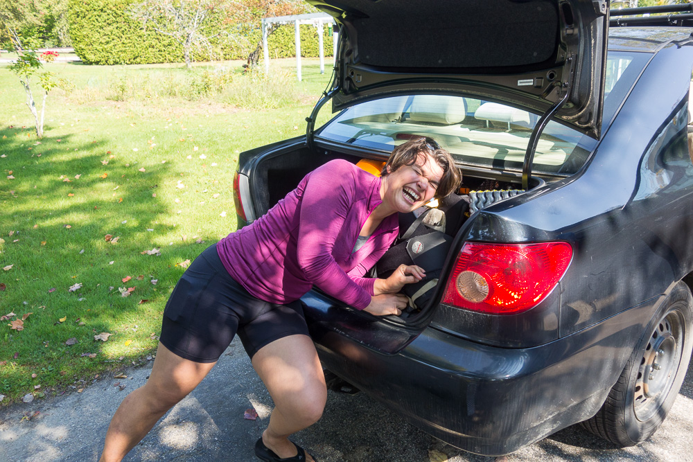
First, to shuttle some cars around… We all met at the Stark Village Inn (where we’ll be staying on Saturday), left Little Spoon’s car, crammed everyone and their packs into my car, then drove down to the Davis Path trailhead on Route 302. When I spoke with the USFS last week, I was told it was a relatively safe parking lot and to just leave a note on the dashboard saying when I’d be back so people wouldn’t get concerned and report a car parked there too long. I go back and forth on that idea, thinking it could give someone the impetus to break in if they know I won’t be back for a while. But I have also been on the receiving end of someone reporting my car because they thought it was parked too long, and that’s a pain in the butt. In any case, we stopped at Foster’s Crossroads on the way to buy a yearly USFS parking pass and I did leave a note right under it on my dash. Fingers crossed for no break-ins!

We walked the Bemis Bridge over the Saco River and started up the Davis Path around 12:30. It soon turned steep and we were sweating like crazy in the 70+ degrees and sun. We stopped for a break probably about a mile up. I’m glad the group is more out of shape than not so I can keep up.

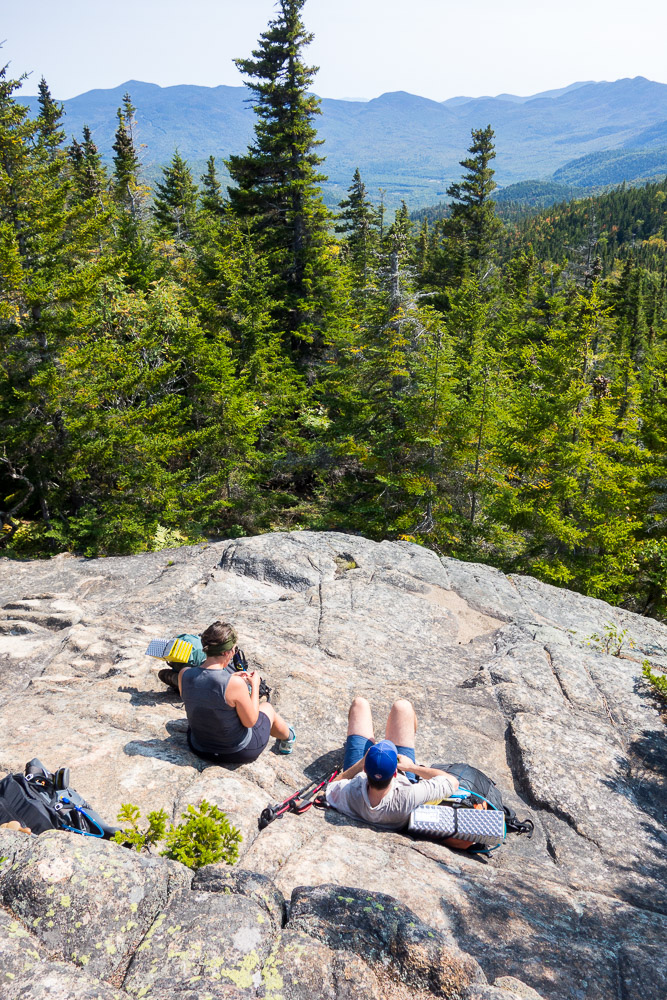
Then we stopped for a while again when we came to a rocky overlook. When we started walking again, turns out there were tons more overlooks to follow but we’d used all our time at the first one.

We finally passed the turnoff to Mount Crawford’s summit but we skipped it. No time for side trails when you start hiking after noon! We also passed the trails for Mount Resolution and Stairs Mountain. Once past all of those junctions, the Davis Path didn’t seem like it was used very much. We had trouble finding one turn but it turned out the trail went straight up for a few minutes, thus the confusion.


We thought we made it to the databook’s listed campsite in a col south of Mount Davis, but we couldn’t find the nearby water at first. We did eventually confirm that this was the site we were looking for and found some water downhill to the west and north. With camp set up and dinner cooked before dark, everyone was happy to go to bed early. 6.9 miles for the day.


1 Pingback