The Batona Trail stands for BAck TO NAture. It’s a 52.7 mile trail in the Pinelands National Reserve, America’s first National Reserve, surprisingly in New Jersey. It goes through Bass River State Forest, Wharton State Forest, Franklin Parker Preserve, and Brendan T. Byrne State Forest. Camping is only allowed at designated sites (for a small fee), but they are more geared for car campers. Campsites are all on dirt roads for drive up access and they are oddly spaced for hiking, with some being off trail. They all have outhouses and some have potable water too.
You can find a map of the whole trail here, but it’s old and there have been two reroutes since it was printed. I’m told a new map is being printed this year. You can see the reroute from Bass River here and the reroute from Franklin Parker here. The original map calls it 50 miles (although north and southbound mileages don’t add up), but with the reroutes, the trail markers every half mile now call it 52.7 miles. Some of those markers seemed closer than a half mile, and some seemed way farther apart. Who knows!
Batona Trail Day 1
Stretch and I both drove to the northern terminus at Ong’s Hat, left her car there, stopped by the Batsto office to pick up our camping permits, then left my car at the southern terminus in Bass River to start walking north. Weather was iffy but it ended up not raining on our first day. It stayed nice and cool with the clouds, and we were the only ones out there. The trail was completely flat and all water sources were overflowing with the recent rains.
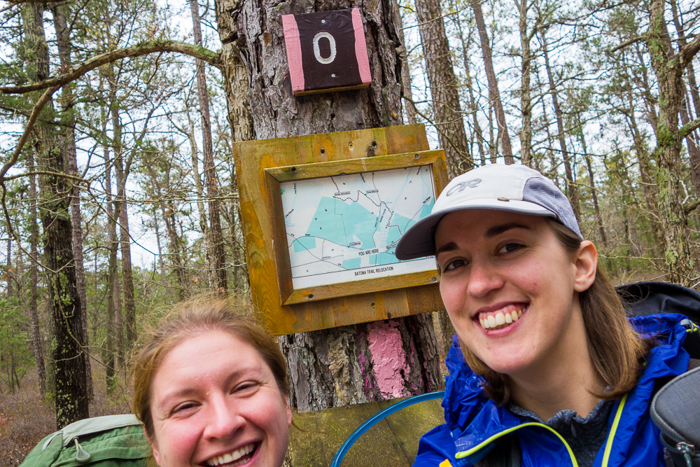
Mile 0
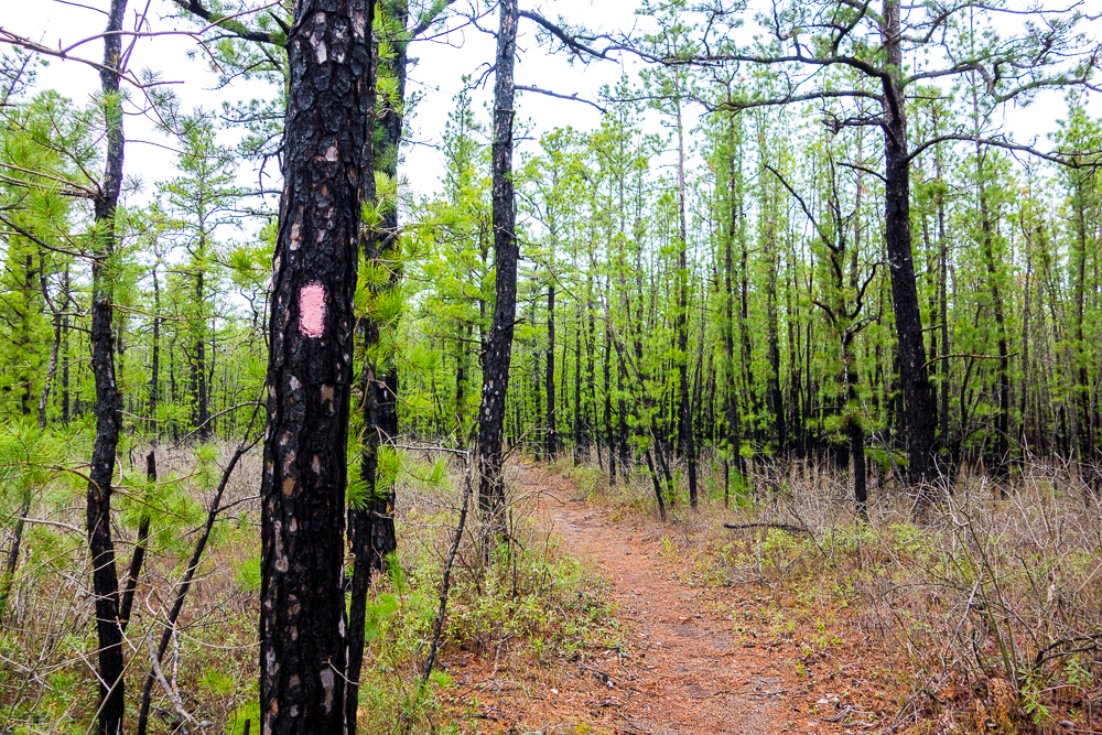
Burnt woods
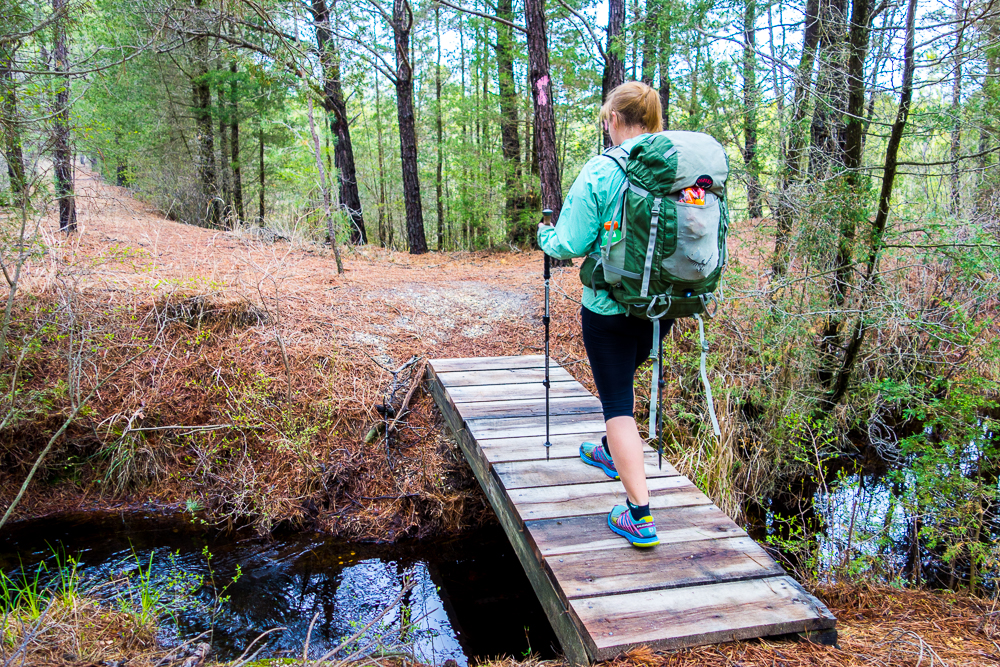
Many bridges
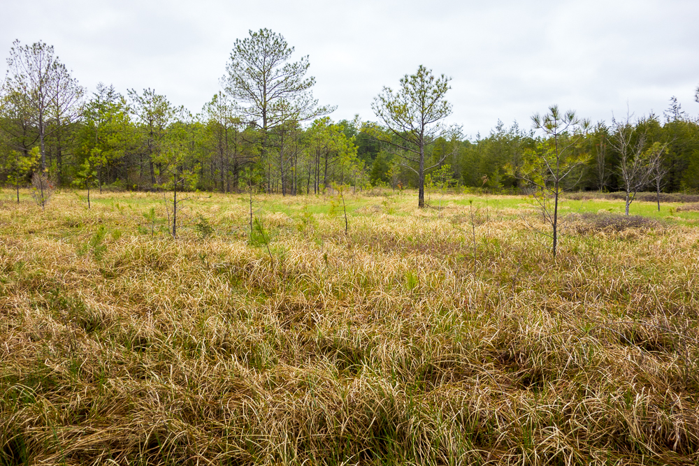
Rare grasses
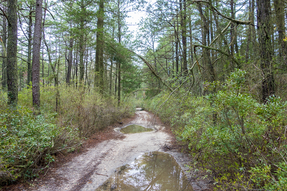
Common flooded dirt roads
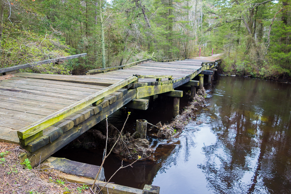
7 ton bridge not quite meeting its pilings
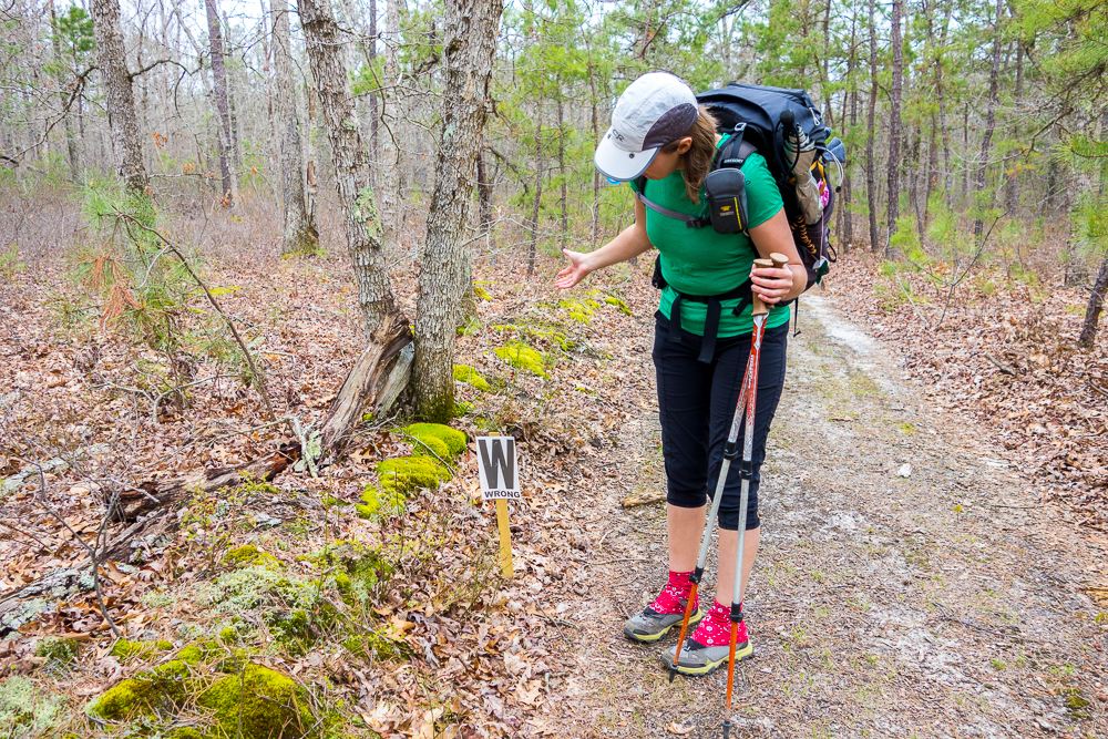
Damn
We stayed at Buttonwood Hill Camp the first night, getting in just before dark. The reroute in Bass River added at least a mile so we hiked about 17 miles in, having started after noon. It was easy to keep a 3 MPH pace on the flat trail but man, were my legs sore by the end. One problem with completely flat trail is that your leg muscles move in a very repetitive motion the whole time, and don’t get stretched in different directions at all. Luckily, the campsite had a picnic table to sit at. We cooked dinner in the dark and were in bed by 9:00.
At 10:00, I was awoken by the yell “Police!” A cop was checking out the van that had pulled in to the campsite next to us just before bed. It was a woman and I couldn’t hear their whole conversation but she was allowed to stay. Maybe she just didn’t have a permit.
Batona Trail Day 2
At 2:30, it started raining. I woke up again at 6:00 to heavy rain and after a little while reading, discovered that at least half of my tent was in a puddle. The floor was floating where it did not have stuff on it. I had planned to wait for the rain to lessen before packing up, but no longer had the time for that. Stretch decided to pack up with me and we got going. The rain stopped within half an hour.
We hiked about 4 miles to Batsto Village. It started raining again so we went inside to eat an early lunch and wait it out. Instead, it kept pouring. Since everything we had was soaked, we decided to take the night off. We talked with the girls working at the desk for a while about thru hiking and then one of them lent us her car to go get my car. Don’t worry, we filled her gas tank on the way to thank her and prove to her that she was not crazy to let strangers take her car. Once we picked up my car, we dropped hers back off at the office, and then headed for the shore. Some friends let us stay at their shore house (Thanks, Gudonis family!) and it was surprisingly nice there, despite the coastal flood warnings. Pizza and limearitas and tv ensued.
While we were there, the cops called Stretch. Someone had called and reported her car being abandoned at the trailhead for five days, despite that it had only been there one day. They called her local police (not the best situation since she knows most of them from working as a paramedic), who did a drive by of her house, and they somehow found her dad’s phone number. He gave them her cell number and they finally got in contact with her to find out that she was perfectly fine. A similar thing happened to me in New Hampshire last winter, and caused all kinds of problems, so I thought it was hilarious.
Batona Trail Day 3
The next morning, we headed back to Batso, left my car, and got back on the trail. It sprinkled for a minute here and there but eventually turned into a gorgeous, sunny day. We hiked about 13 miles to Batona Camp and enjoyed sitting on stumps to eat dinner around a nonexistent campfire.
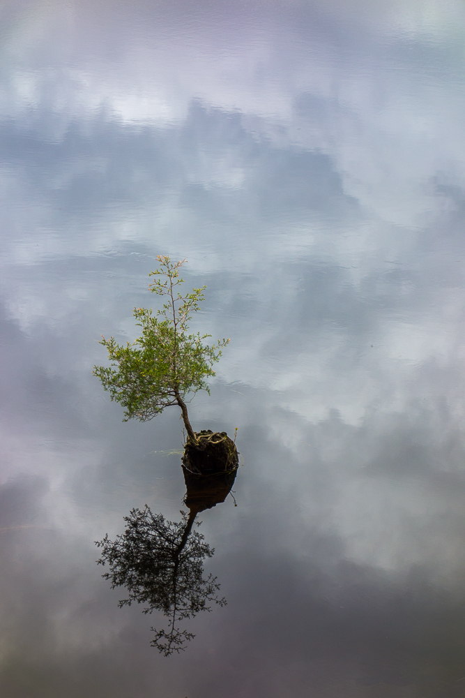
Batsto Lake
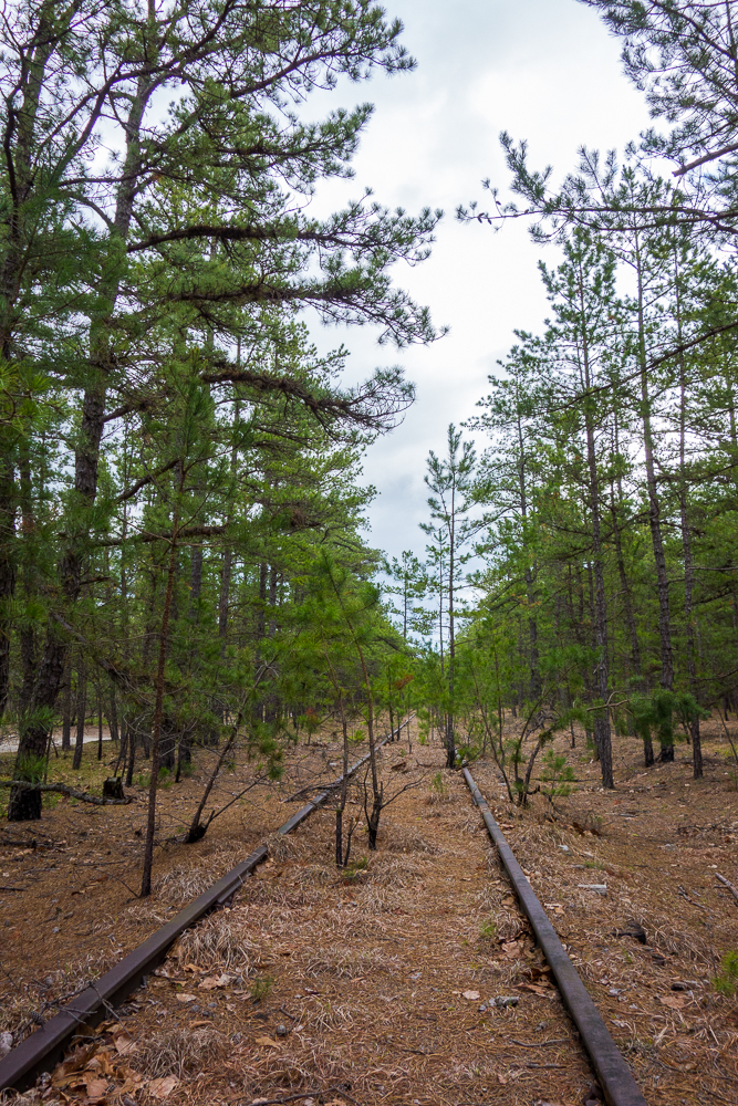
Old railroad tracks
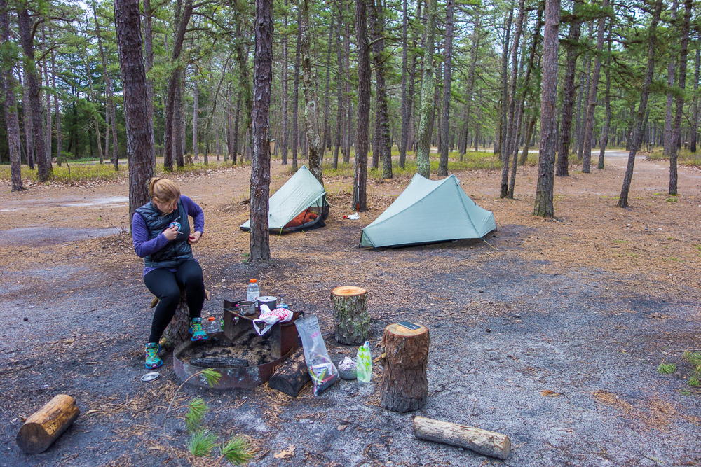
Batona Camp
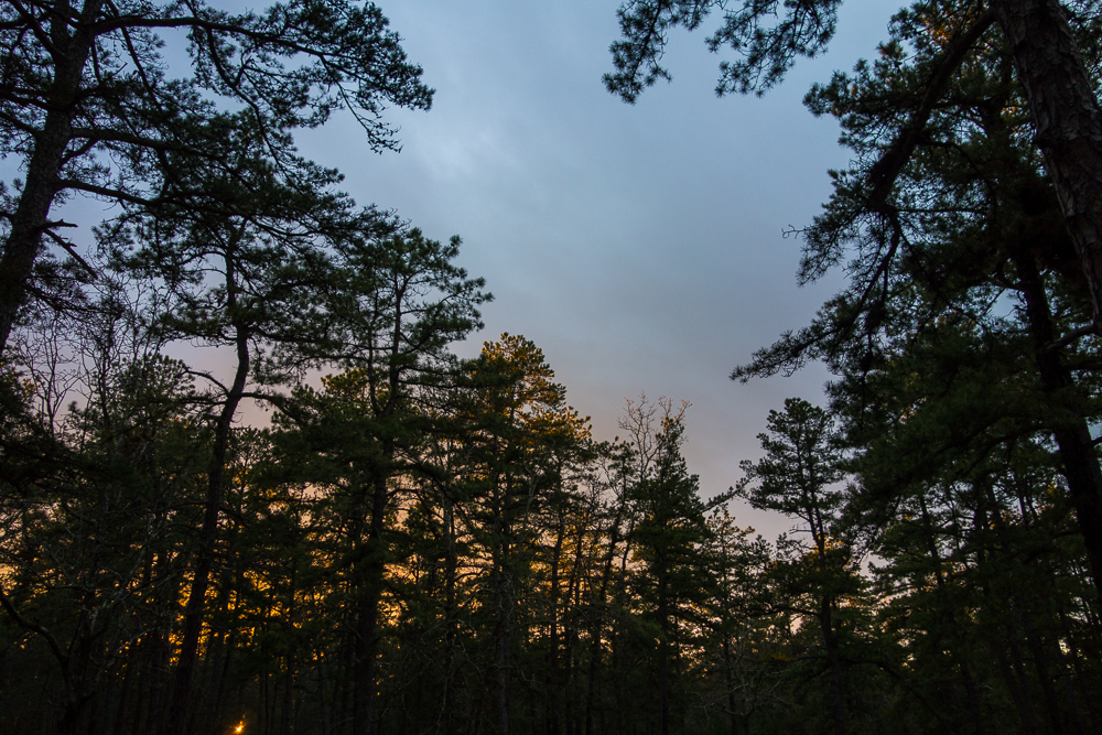
Sunset from camp
Batona Trail Day 4
It rained for a little bit in the morning while we were still in our tents, but it was light rain and (mostly) easily shaken off the tents when we packed up. I turned my phone on to check messages and this time I had a message from the cops.
I had seen a poster when we were in the Batsto office about an app for reporting illegal dump sites. Unfortunately, the pinelands are littered way too much, especially in Wharton. In addition to lots of wrappers and beer cans and water bottles, people actually go out and leave piles of full garbage bags and construction trash. I took note of it and when we came across a fresh dumpsite, I used the app to report it, sending in a photo and gps coordinates. Well I’m glad to see they take it very seriously. The cop was calling me that morning to ask me more about it, and by the time I got back to him later, he had already cleared the site.
We had a long ways to go to finish the trail, but still stopped to check out some fire towers along the way (Apple Pie Hill Fire Tower at 60′ tall and Lebanon Fire Tower at 80′ tall). We weren’t sure how long the day would be. The Franklin Parker reroute appeared longer but we didn’t know just how much longer until it never seemed to end. We finished way later than expected because we hiked probably 22 miles to the car. In addition to the long mileage, we couldn’t take many breaks. Every time I sat down, I found ticks crawling on me a few seconds later – seven total for the day, and I found one attached to my ankle later that I missed. So I didn’t really want to sit down much.
We were both pretty tired by the time we made it to the northern terminus at Ong’s Hat. It was a thru hike, albeit a short one, so I had to play The Final Countdown as we finished. The only problem was we didn’t know the final mileage of the trail and we ended up listening to it on repeat for about a mile because we underestimated.

Apple Pie Hill Fire Tower
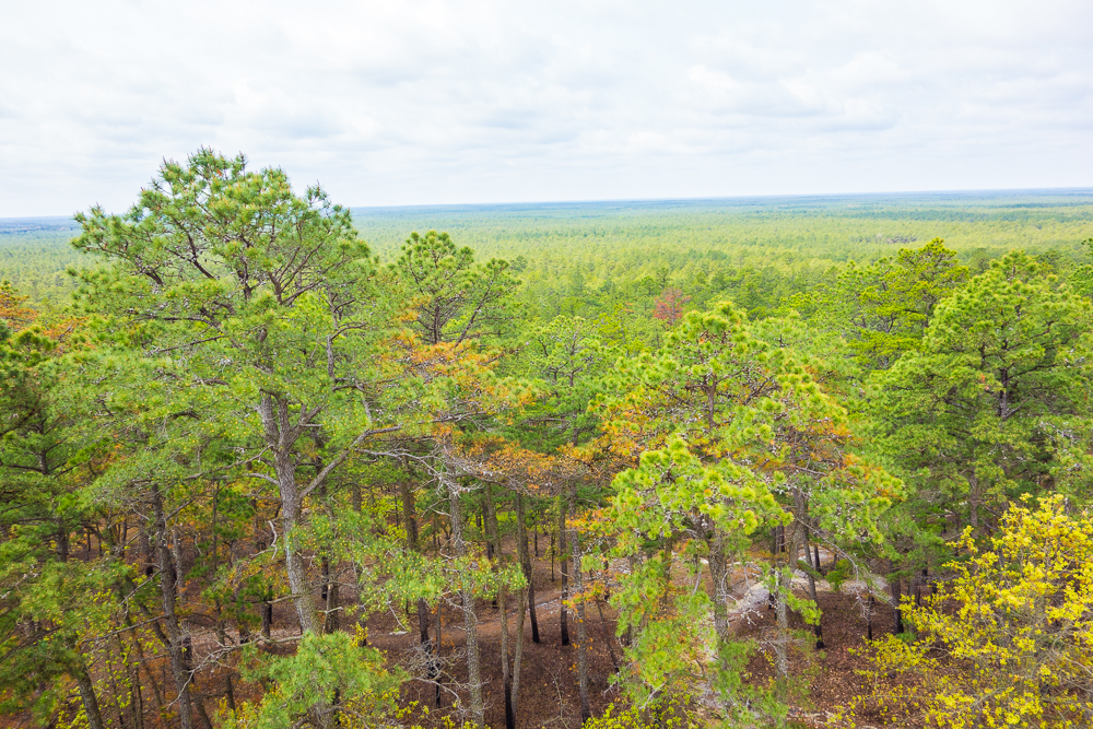
View from Apple Pie Hill Fire Tower
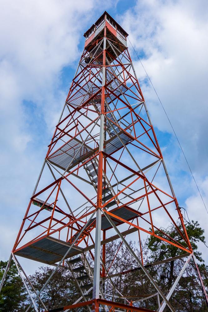
Apple Pie Hill Fire Tower
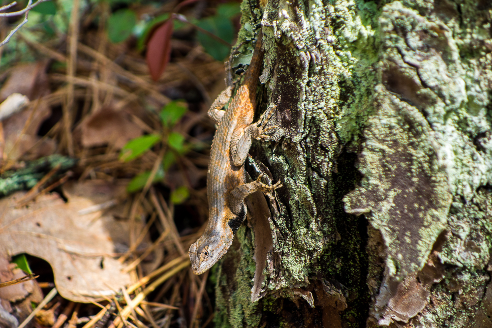
Northern Fence Lizard
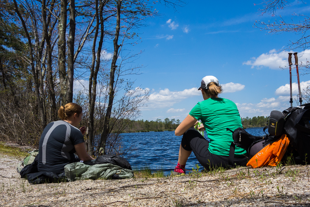
Lunch in Franklin Parker Preserve
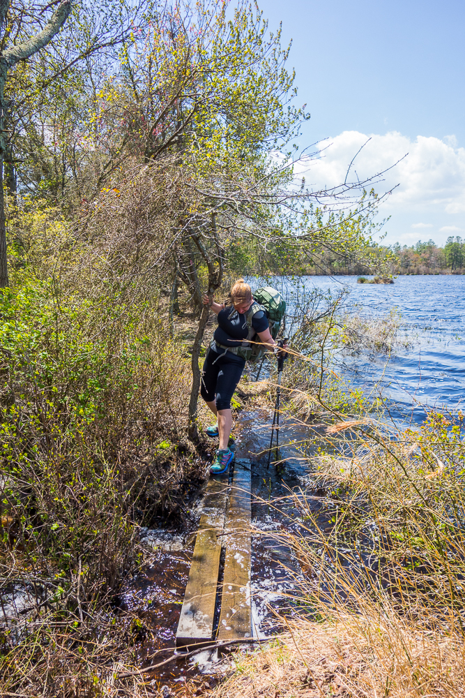
Flooded bridge
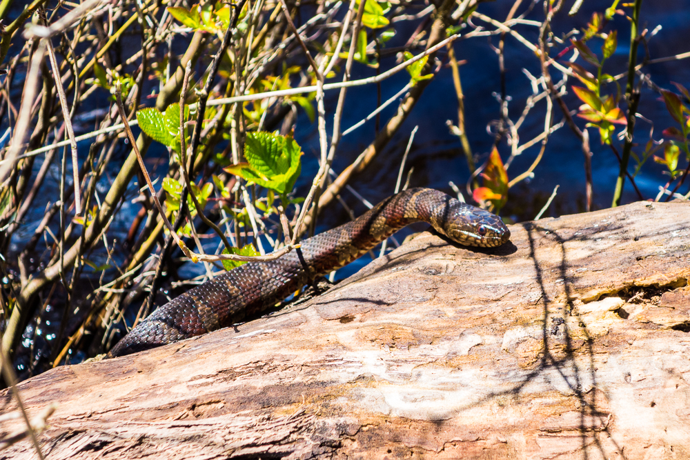
Northern Water Snake
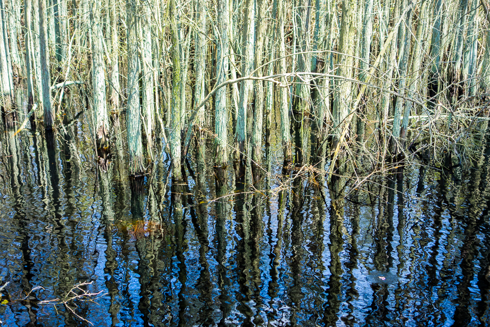
Cedar swamp
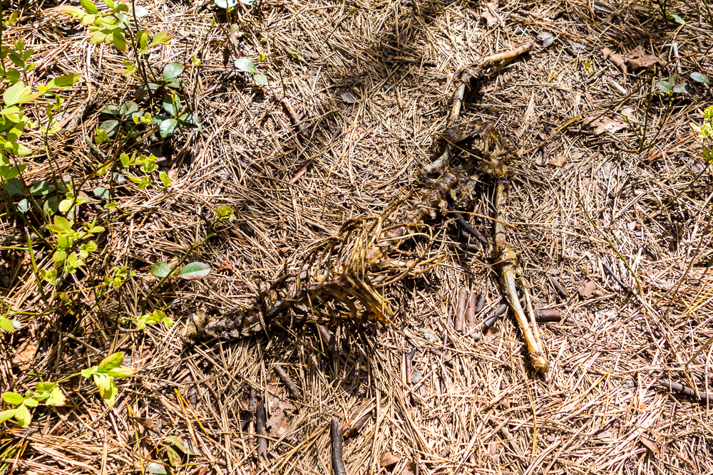
Jersey Devil leavings?
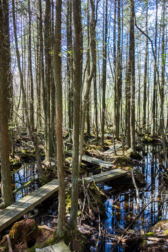
Bog bridges
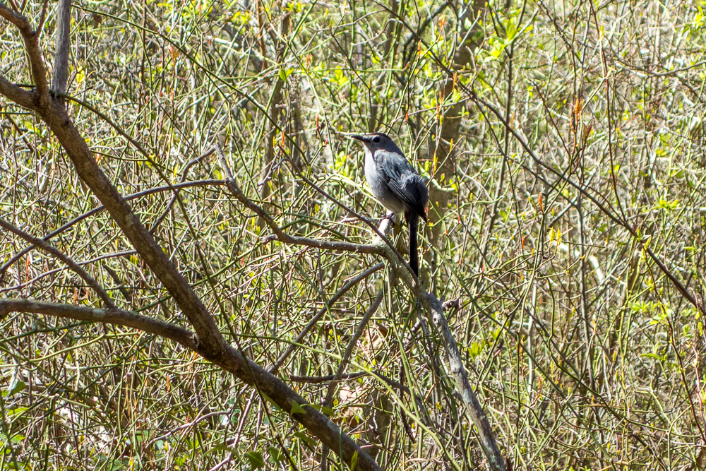
Gray Catbird
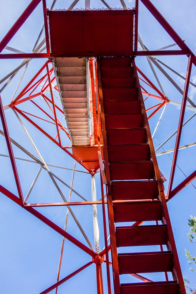
Lebanon Fire Tower
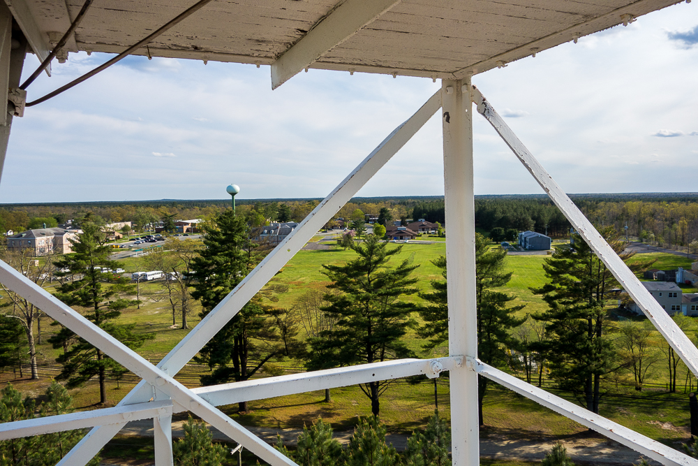
Lebanon Fire Tower
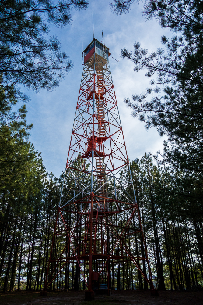
Lebanon Fire Tower
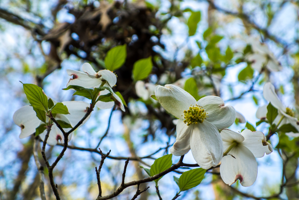
Flowering Dogwood

Mile 52.7
I had hiked most of the Batona Trail in pieces over the years so it was nice to finally get a thru hike in, despite the almost daily police interactions.
Some useful books about the nature and history of the Pine Barrens:
A Field Guide to the Pine Barrens of New Jersey by Howard P. Boyd
Ghost Towns and Other Quirky Places in the New Jersey Pine Barrens by Barbara Solem-Stull
The Pine Barrens by John McPhee

Nice. I love the Cedar Swamp photo.
Thanks, Lee!
Man, these are lovely photos! Especially that Batsto Lake one!!!
Thanks, Iris!
The bog bridge looks like fun. 🙂
Great write up on this trail. With heavy rains, some parts of the Batona really seem to flood out. Hope you didn’t have too much trouble.
Nice write up. Any advice regarding water? I’m hiking ongs to batsto. I did the southern part in the summer and only was able to fill up water in the Mullica and had to carry like 3 liters. I’m doing this next week in Mid October so I’m hoping for less desert like conditions and hopefully less chiggers. Anyway, can you tell me if there are water sources around other than the two ponds I see on the maps?
I hiked in May so I really can’t speak to November water conditions. It’s also been a few years since I’ve been in the area to know. You could call the state forest and ask.