Jenn and I tackled Mt Mansfield today, Vermont’s highest peak at 4393′. The road in Underhill State Park was gated so we had to park a mile down Mountain Road, walk another mile up CCC Road, and then it was 2.3 miles up the Sunset Ridge Trail to The Chin. Mt Mansfield looks like a man’s face laying down and there are three peaks – The Forehead, The Nose, and The Chin. The Chin is the high point.
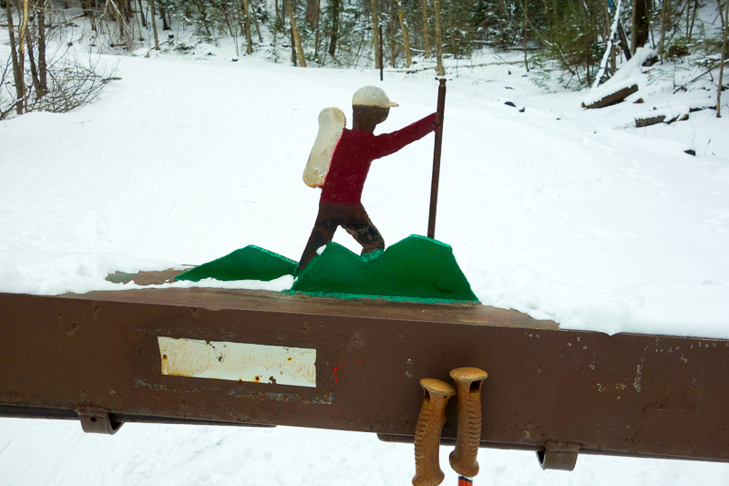
This little hiker guards the gate
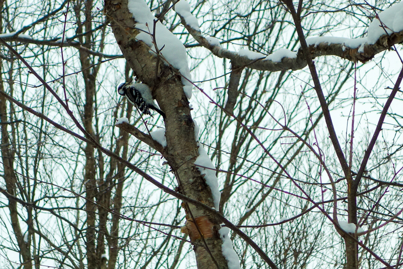
Woodpecker

Jenn snowshoeing below treeline

Trail below treeline

Below treeline gear

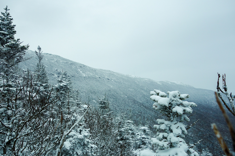
First glimpse of the ridgeline, showing The Nose
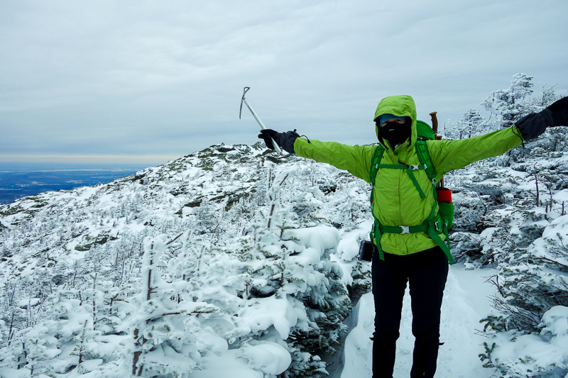
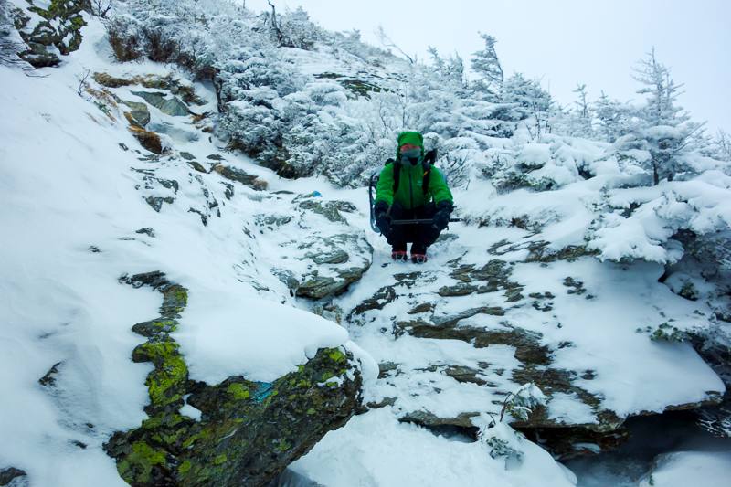
I did the whole thing in MICROspikes. There was no real need for crampons, even above treeline, as the wind had most of the rocks swept bare. There were some icy sections in the slightly sheltered areas, but none of them were long enough to change footwear. We did switch trekking poles for ice axes though. We estimated the wind to be pretty steadily blowing at about 60 mph, comparing it to our Mt Washington ascent last winter with winds even higher than that. Strong winds make it difficult to move quickly as each step has to be taken very carefully.
Starting to get above treeline
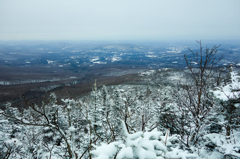
View of the valley

Cloudy

Jenn in the foreground, false summit, The Chin in the background
Made it past the false summit
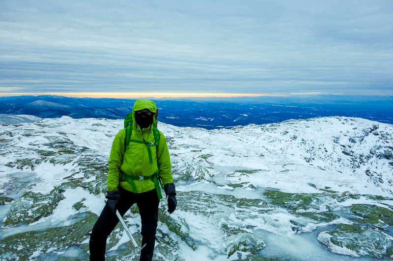
Once we got past the false summit, we were sheltered from the wind for a little while. We enjoyed the summit for about four minutes because it was way too cold to hang out long. It had taken us four hours to get up, but the winds were not quite as strong on the way back so we made it in less than three hours, reaching the car just at dark.
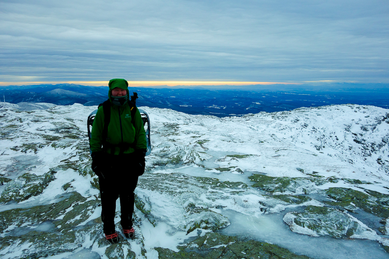
Jenn on the summit!
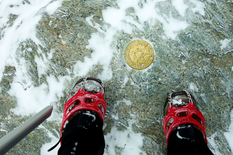
Summit marker
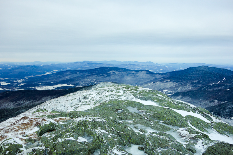
Beautiful views
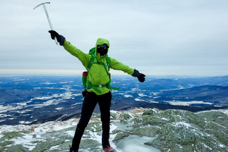
Me on the summit!
Facing the other direction
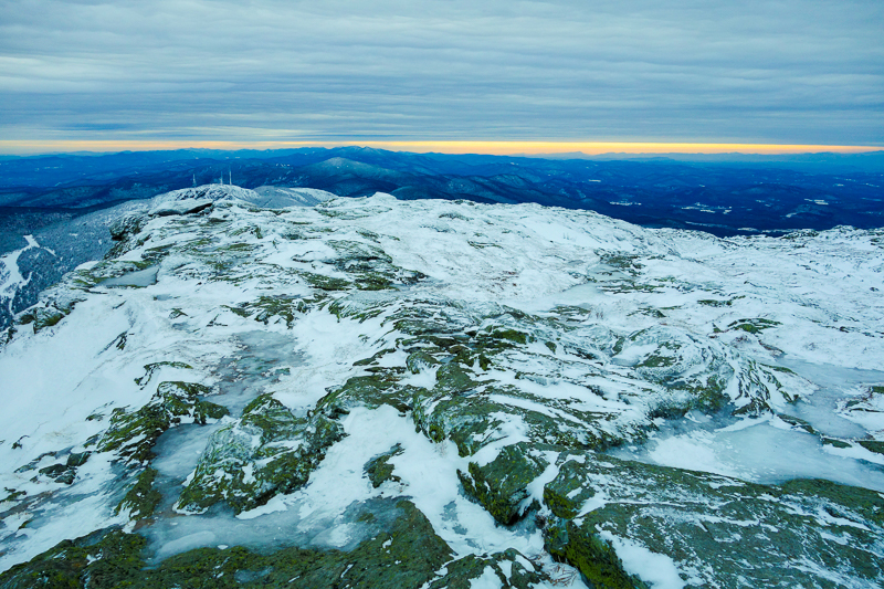
Amazing skyline
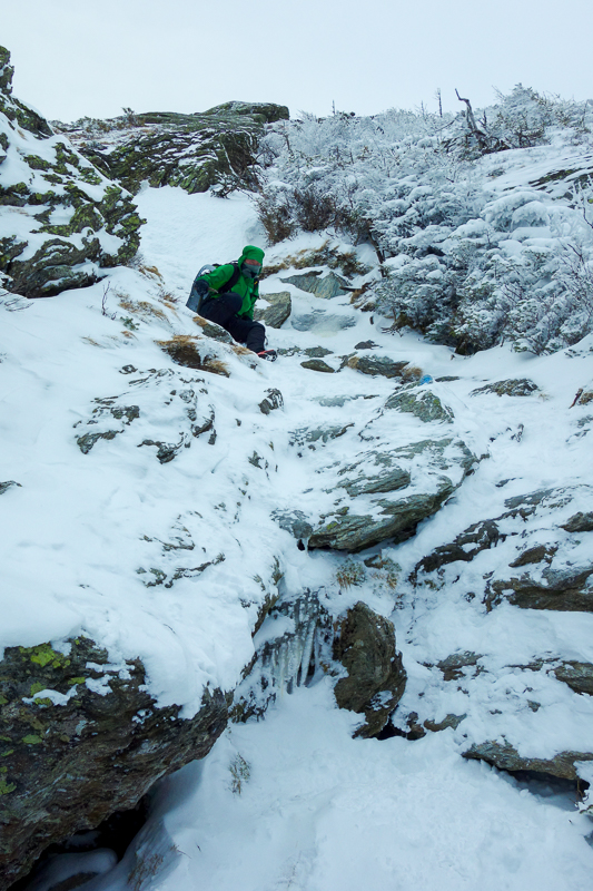
Jenn coming down one of the icier parts
Jenn
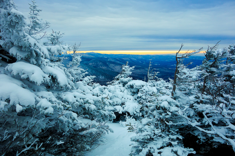
Last glimpse before going back below treeline
Always awesome! Great pics.
Wow! Beautiful hike!
Wow, great pictures indeed! You got some wonderful views, and the ice really shows. I saw a glimpse of Lake Champlain in one view to the NW, I think. I’m glad you made it down before dark!